☁️ CLOUDS: FORM & MEANING
PAGE 1 OF 5, NOT COTTON: BILLIONS OF DROPLETS
WHAT IS A CLOUD?

SUSPENDED WATER IN PLAIN SIGHT
A cloud is a visible mass of tiny liquid droplets and/or ice crystals hanging in the air, each clinging to a condensation nucleus (dust, salt, pollen, smoke). It is not a gas — the invisible part is the water vapour around the droplets. White or grey? Sunlight scatters off zillions of droplets; when the cloud is thick enough, light cannot punch through, so the base looks dark even on a sunny day.
🧪 SCALE
A small fair-weather puffy can hold hundreds of tonnes of liquid water if you add all those micro-drops — still lighter-than-air as a whole parcel of rising, buoyant air.
FLOAT!
DROPLET

Droplet sizes: mostly tiny, so they float with the wind
ICE
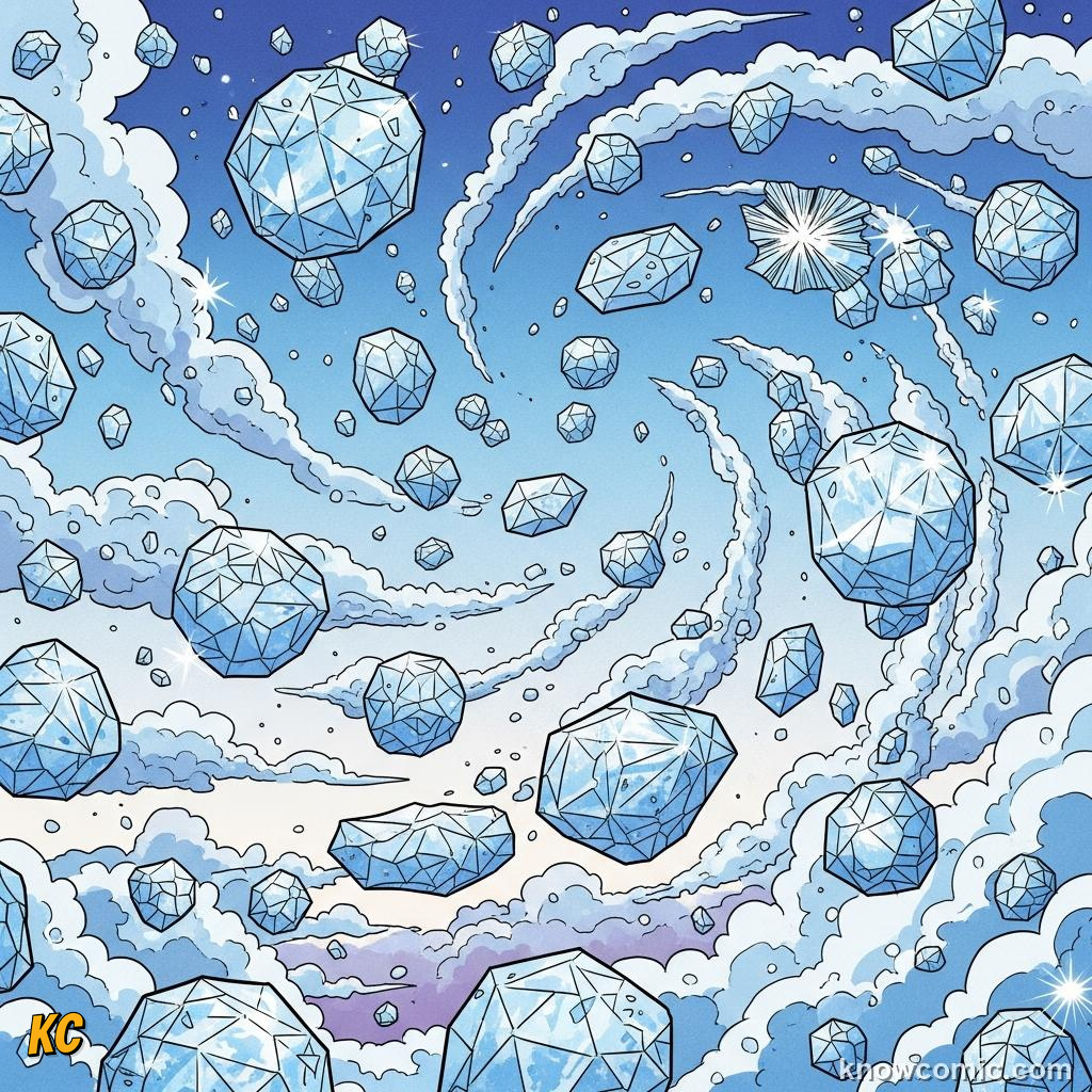
High and cold: crystals & hazy wispy structure
PAGE 2 OF 5, THE AIR MUST RISE (OR LOSE HEAT)
LIFTING MECHANISMS
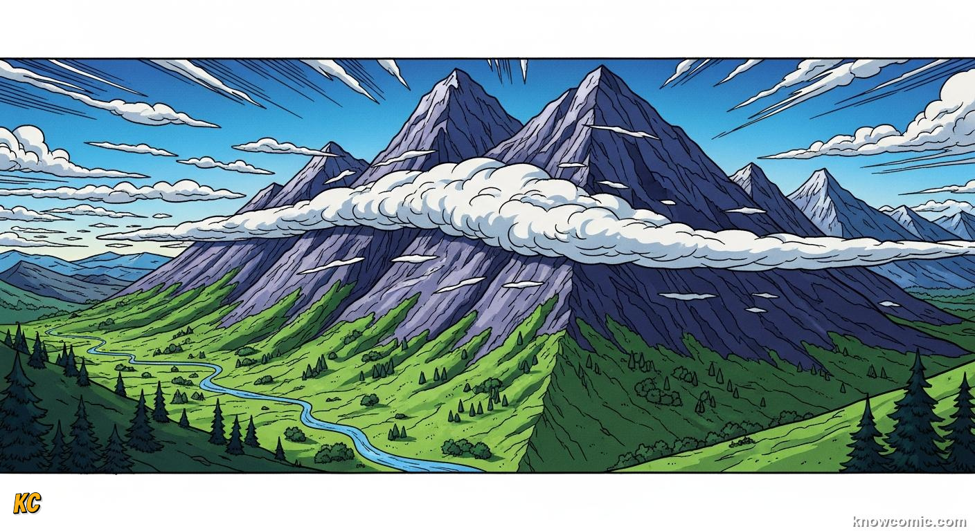
COOL UNTIL SATURATION
To get a cloud, you need cooling to the dew point. That usually means air rising, because it expands and chills adiabatically in the thinner upper sky. Convection (bubbling thermals) builds puffy clouds. Mountains force wind upward — orographic clouds. Fronts slide air masses, lifting warm over cold or ploughing cold under warm. At night, the ground cools and can fog the surface — same physics, just not rising very far. No lift, no story — or a very thin one.
UP!
THERMALS

Heated ground → buoyant columns → cumulus family
RIDGE
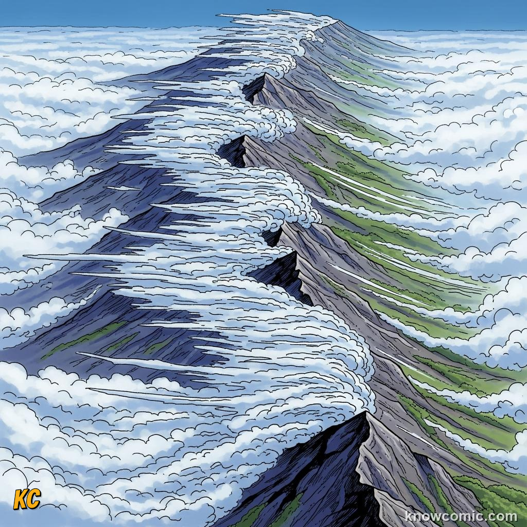
Wind hits slopes — forced ascent, banner clouds possible
SLIDE

Frontal lift: one air mass rides over or wedges under another
PAGE 3 OF 5, HIGH, WISPY, USUALLY ICE
CIRRUS
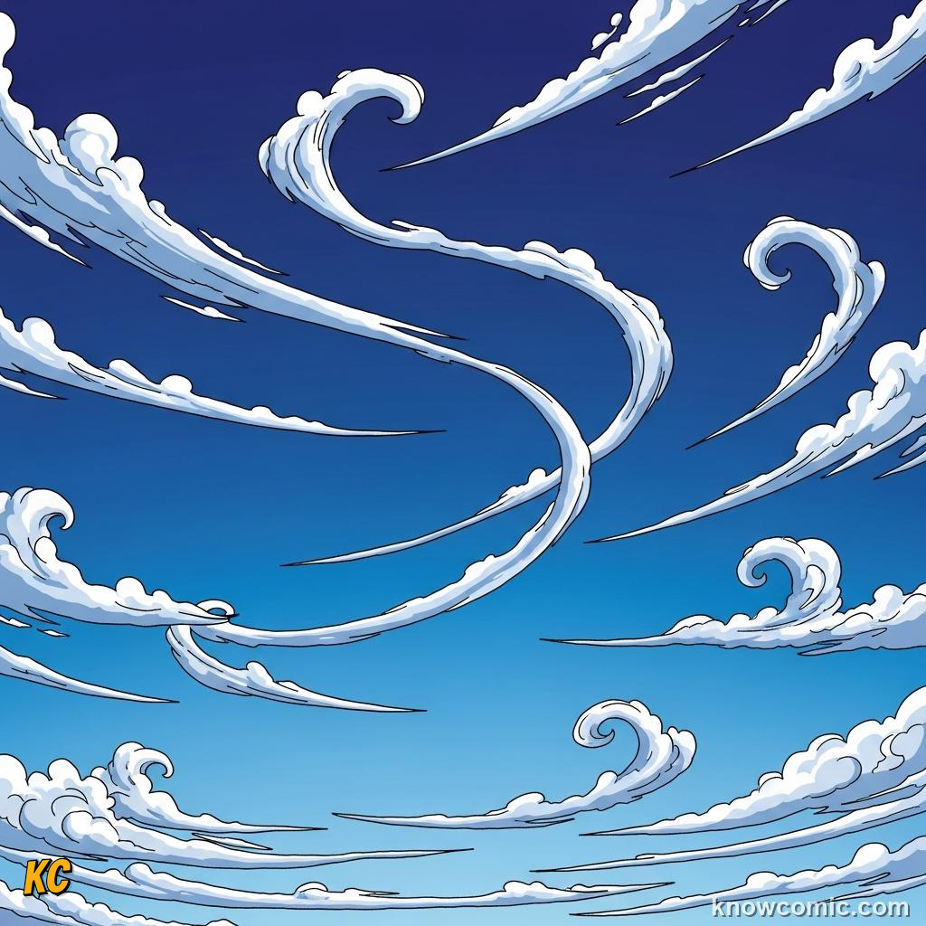
Feathery — ice crystals falling slowly, sometimes sheared into hooks
CIRRO-
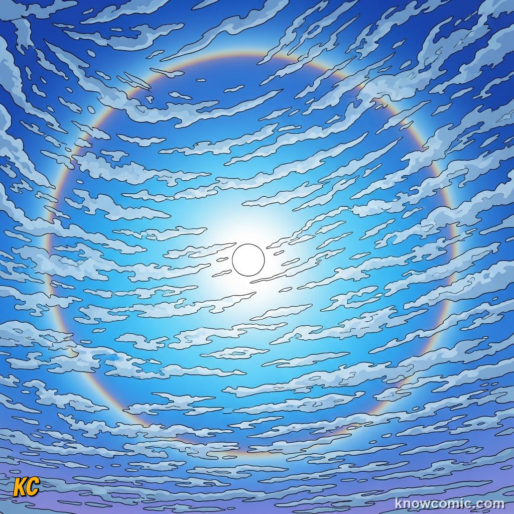
Veil or patch high up — often first hint of a warm front in mid-latitudes
6–12 KM UP

READ THE CIRRUS TEA LEAVES
Cirrus, cirrostratus, cirrocumulus live in the high troposphere where it is cold, so ice dominates. Wispy mares' tails and thin veils do not mean a picnic every time — but spreading cirrostratus can signal moisture riding ahead of a system in many regions. Contrails are human-made cirrus where jet exhaust provides nuclei. Watch shape change over hours — the sky is a slow-motion map.
WISPY!
PAGE 4 OF 5, FLAT, GREY, STEADY
STRATIFORM LAYERS
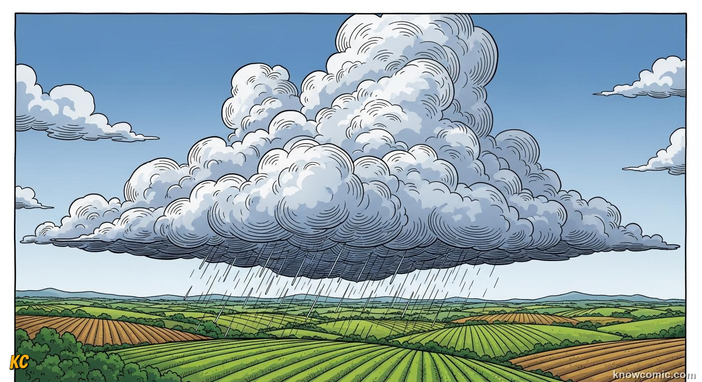
DRIZZLE HOURS, NOT A MINUTE BURST
Stratus & stratocumulus form wide sheets — stable air lifted just enough to smear moisture across a layer. Nimbostratus is the thick, dark, sad blanket that brings hours of light-to-moderate rain or snow, not a dramatic thunder clap. Altostratus in mid levels can dim the sun into a hazy disc (often a front is close). Character: low drama on the convective scale, high duration on the human calendar.
SOAK!
FOG =
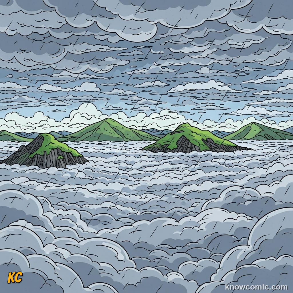
Stratus on the ground — same droplets, your shoes get wet
MASH

Stratocumulus: bumpy underbelly, often dry gaps between clumps
NIMBO-
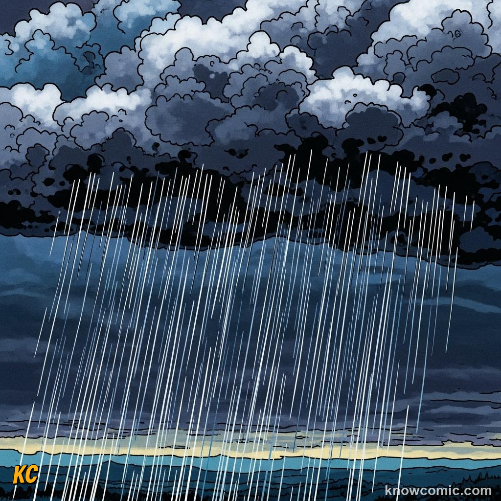
"Nimbo-" = rain-bearer; thick layer = long wet afternoon
PAGE 5 OF 5, TOWERS, ANVILS, & STORMS
CUMULUS → CUMULONIMBUS
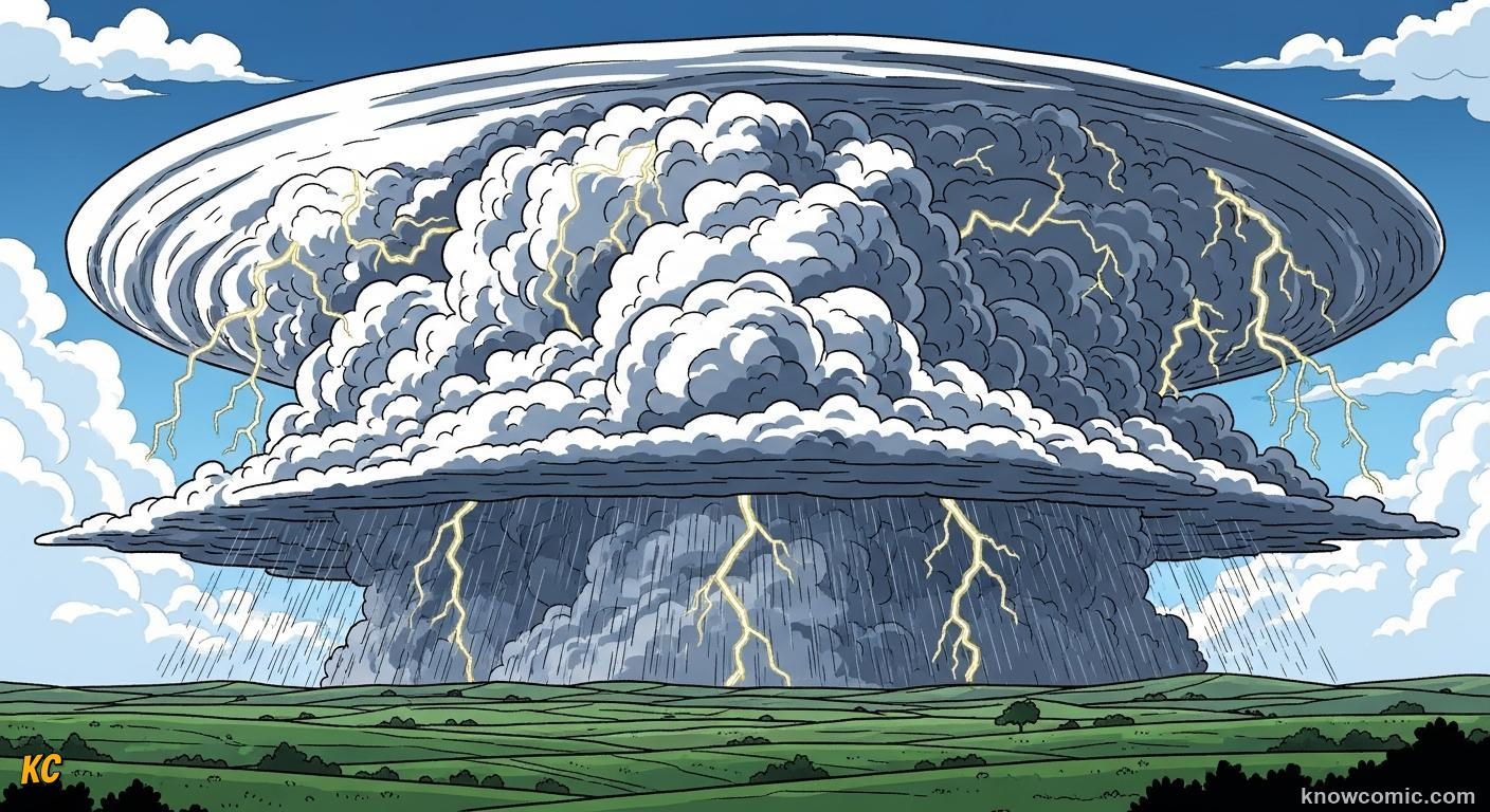
PUFF, TOWER, THEN ANVIL
Fair-weather cumulus = gentle convection, short lives. Towering cumulus = strong updraft; watch vertical growth. Cumulonimbus hits the tropopause and spreads an anvil of ice — that is a thunder factory: rain, lightning, maybe hail, microbursts. Shape = energy. After this topic, Topic 4 (on the hub) looks at the whole atmosphere in layers — the stage where all these clouds act out their play.
☁️ READER TIP
Once a day, name three cloud types you see. Trend beats one snapshot — weather is a movie.
LOOK!
ANVIL

Flat icy top: cloud hits the "ceiling" of the troposphere
CODES
🌤️ SHORTHAND
Cirro- = high · Alto- = mid · Strato- = layer · Cumulo- = heap/tower
⛅ Fair · ⛈️ Watch the tower
🧠 QUIZ TIME!
CLOUDS: HOW THEY FORM AND WHAT THEY MEAN · 5 QUESTIONS
QUESTION 01
In science class, a natural cloud is mostly made of —
QUESTION 02
Clouds form when air is cooled to the dew point. In many storms that cooling happens because —
QUESTION 03
Thin, wispy, high "mare's tail" clouds (cirrus) are usually —
QUESTION 04
A wide grey stratus or nimbostratus layer is most often linked to —
QUESTION 05
A tall cumulonimbus cloud with a spreading icy anvil is most associated with —
0/5
LOADING...