🌊 HOW MUCH OF EARTH IS OCEAN?
PAGE 1 OF 5, MOST OF THE SURFACE IS SEA
COVER
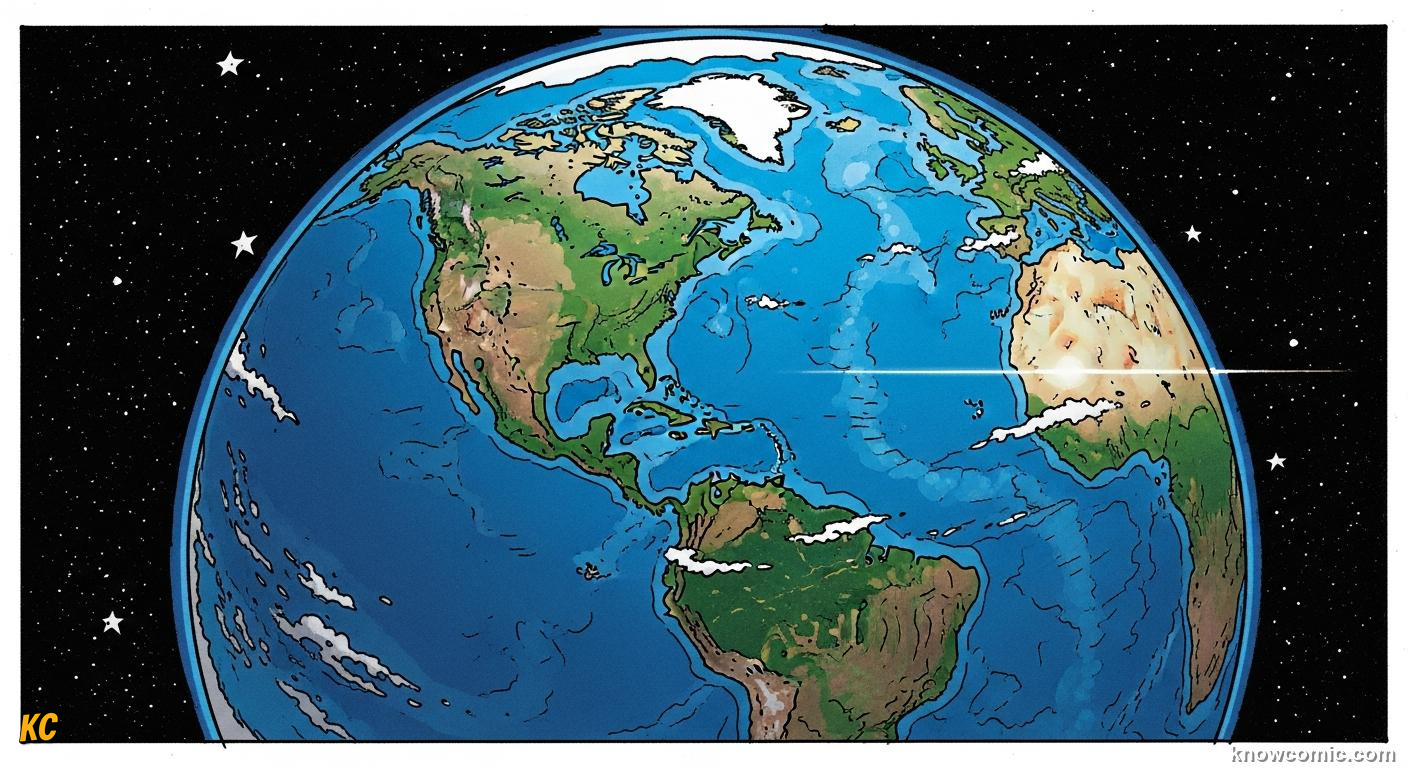
ABOUT SEVEN TENTHS WET, THREE TENTHS DRY
Satellite photographs show Earth as a blue marble because oceans dominate the view, roughly seven parts ocean to three parts land by area. All continents together would fit inside the Pacific Basin with room to spare. That ratio matters for weather: most solar heat enters through water surfaces that store and move energy differently than rock and soil.
⚡ DID YOU KNOW?
The Southern Ocean wraps Antarctica as one continuous ring, there is really one world ocean chopped into named slices for maps.
71%!
GLOBE
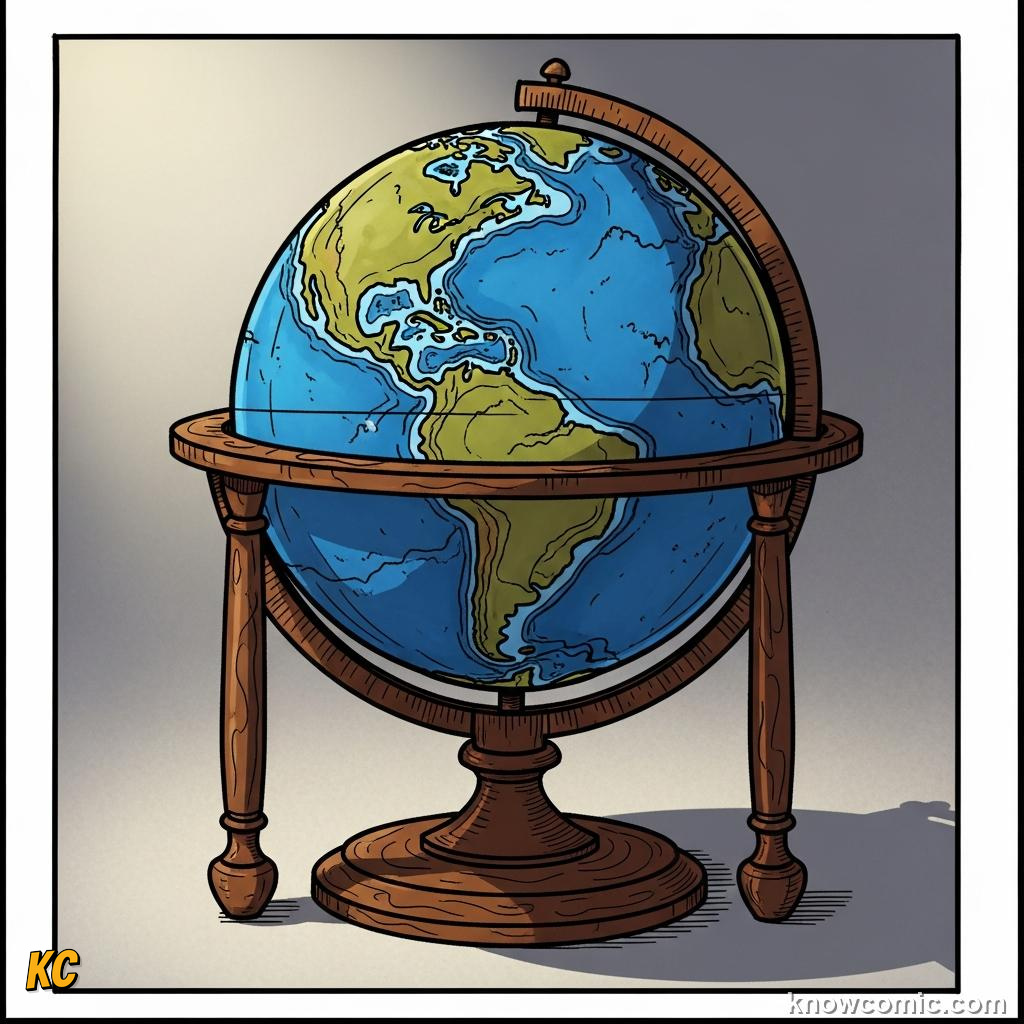
🌍 Disk view = mostly blue
🏝️ Land clusters mid-latitudes
🏝️ Land clusters mid-latitudes
PACIFIC
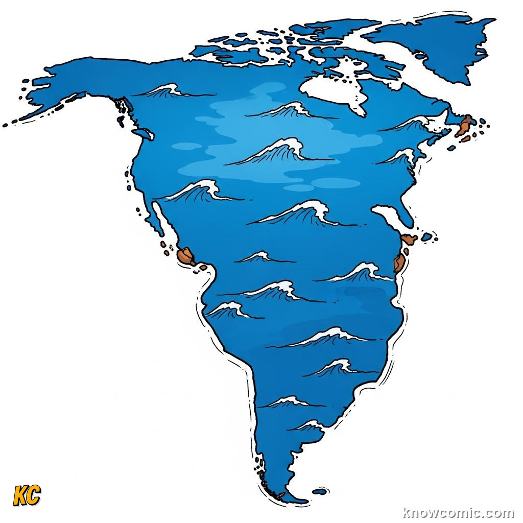
🌊 Largest single basin
📏 Wider than all land combined
📏 Wider than all land combined
PAGE 2 OF 5, ALMOST ALL WATER IS SALTY
SALT
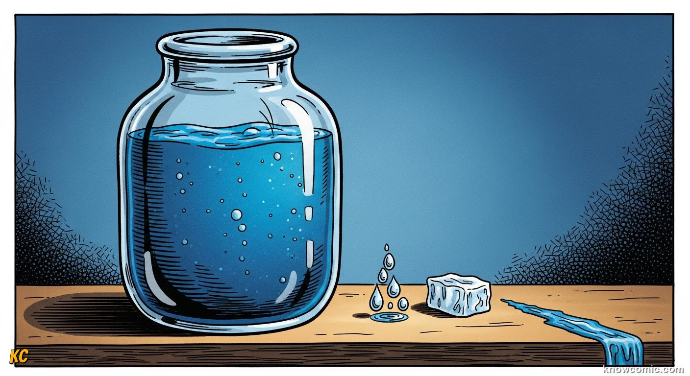
RIVERS ADD A TRICKLE; THE OCEAN HOLDS THE TREASURY
Rivers and groundwater are vital for us, yet they are a tiny droplet compared with the huge salty reservoir left by billions of years of volcanic outgassing and rock weathering. Ice caps lock the next-biggest share of freshwater; lakes and atmospheric vapour trail far behind. When we say "Earth's water" in science class pie charts, the ocean slice swallows almost the whole circle.
97%!
BRINE
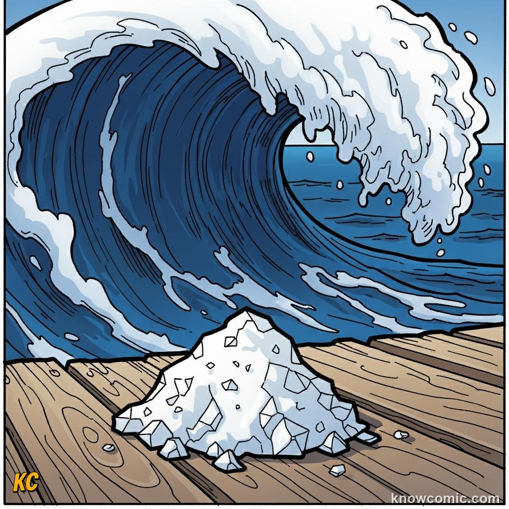
🧂 ~3.5% dissolved salts
🌫️ Evaporation leaves salt behind
🌫️ Evaporation leaves salt behind
ICE
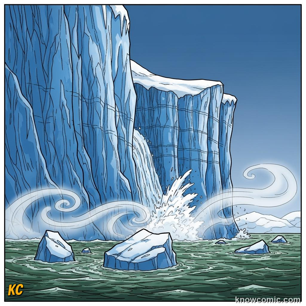
🧊 Polar caps = most freshwater
💧 Rivers = thin blue threads
💧 Rivers = thin blue threads
VAPOUR
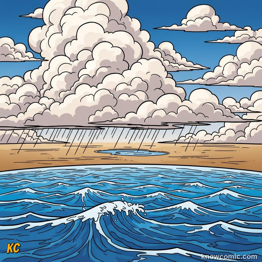
☁️ Clouds hold least mass
🔄 Cycle links all pools
🔄 Cycle links all pools
PAGE 3 OF 5, HOW DEEP IF YOU SMOOSH THE LAND?
DEPTH

📏 Mean depth ~3.7 km
🗻 Everest fits in deepest trench
🗻 Everest fits in deepest trench
FLATTEN
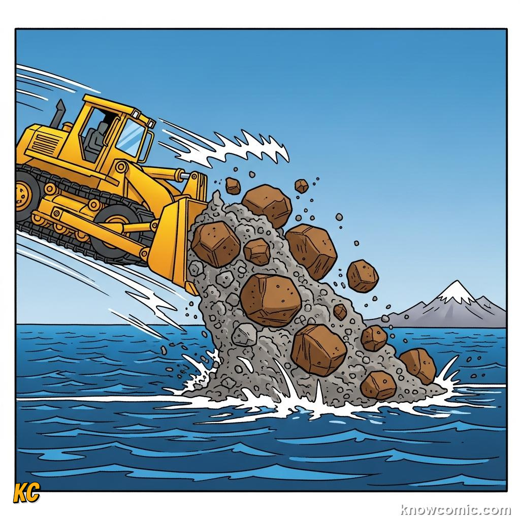
🏔️ Grind continents to gravel
🌊 Still ~2–3 km water on top
🌊 Still ~2–3 km water on top
VOLUME
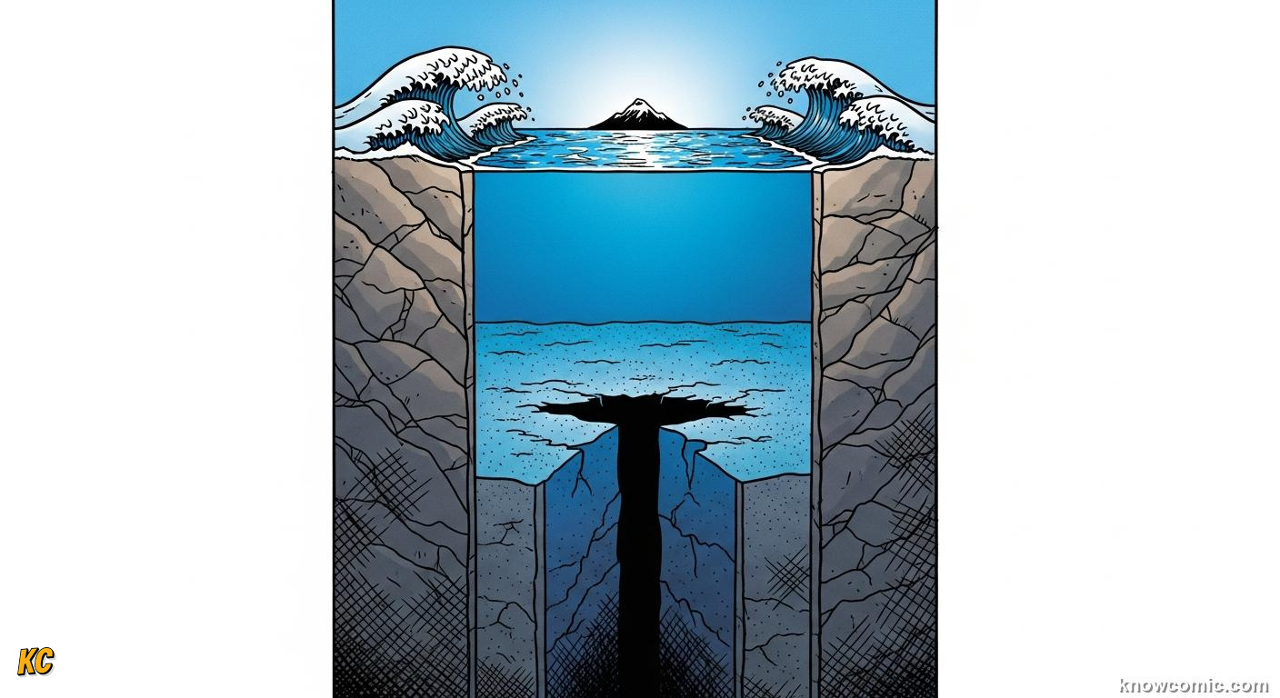
VAST CUBIC KILOMETRES BELOW THE SKIN
Area times average depth gives ocean volume on the order of a billion cubic kilometres, a one followed by nine zeros of cube kilometres, hard to picture but easy to remember as "mostly full" compared with the thin film of air above. Bathymetry maps show trenches deeper than airliners fly high while abyssal plains stay mind-numbingly flat for hundreds of kilometres.
DEEP!
PAGE 4 OF 5, ONE CONNECTED OCEAN, MANY NAMES
LINKS
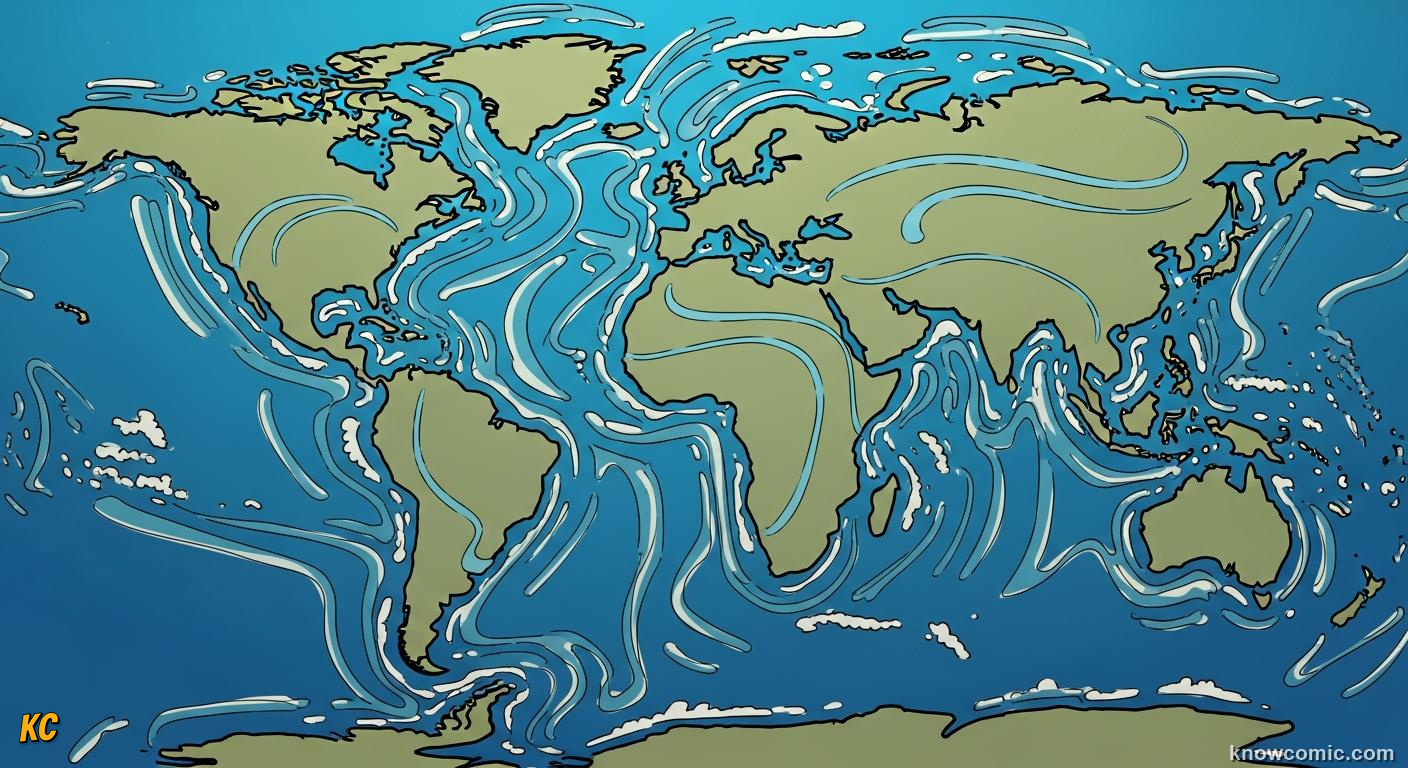
AROUND AFRICA AND UNDER THE ICE
Atlantic, Pacific, Indian, Arctic and Southern are labels on one salty body, water mixes through straits and around capes on thousand-year timescales. Sea ice still counts as ocean water frozen in place; subglacial lakes in Antarctica touch the same global chemistry through melting interfaces. Understanding the single ocean helps policy: pollution or heat in one basin eventually whispers to others.
ONE!
STRAIT
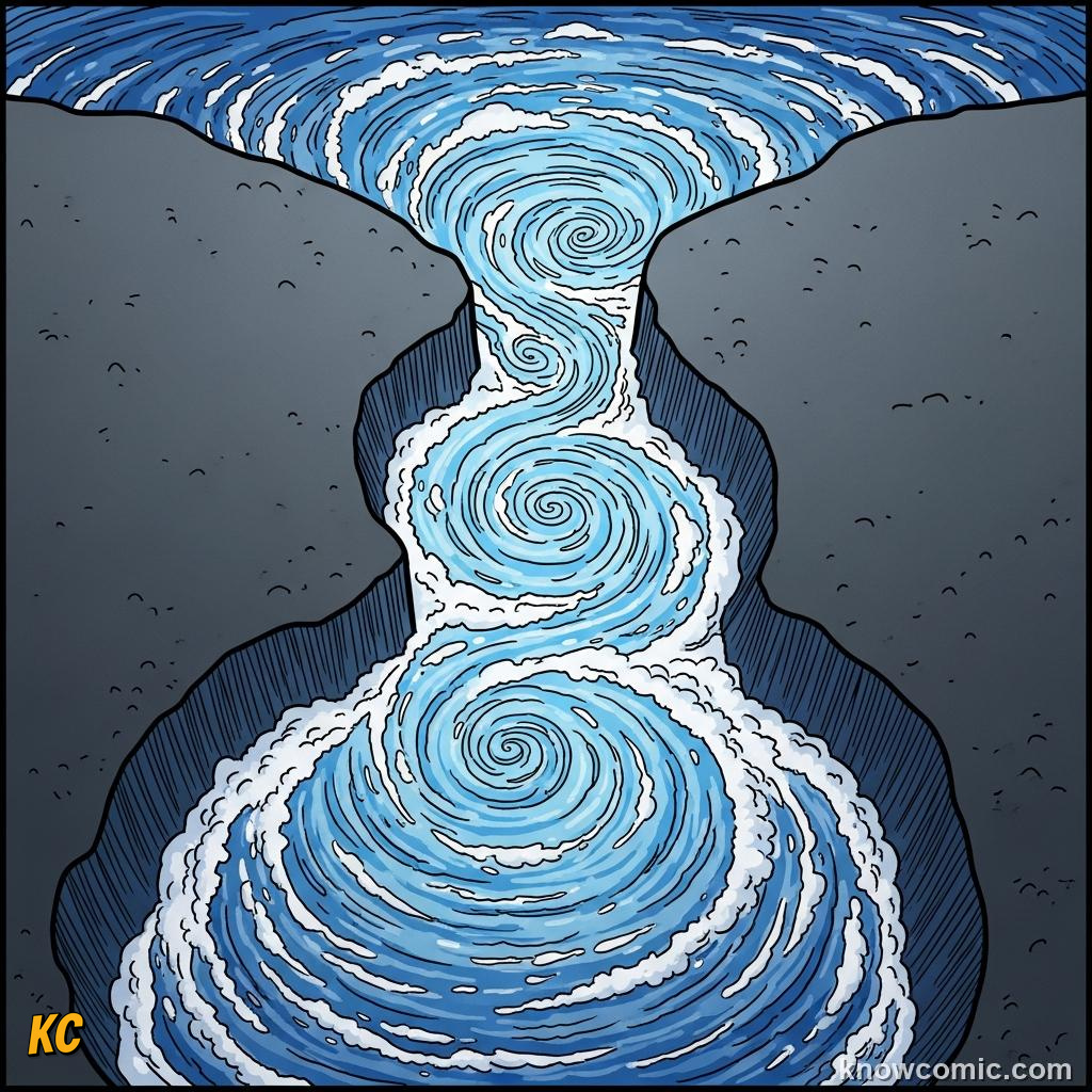
🚢 Drake passage connection
🌐 No fence at equator
🌐 No fence at equator
ICE
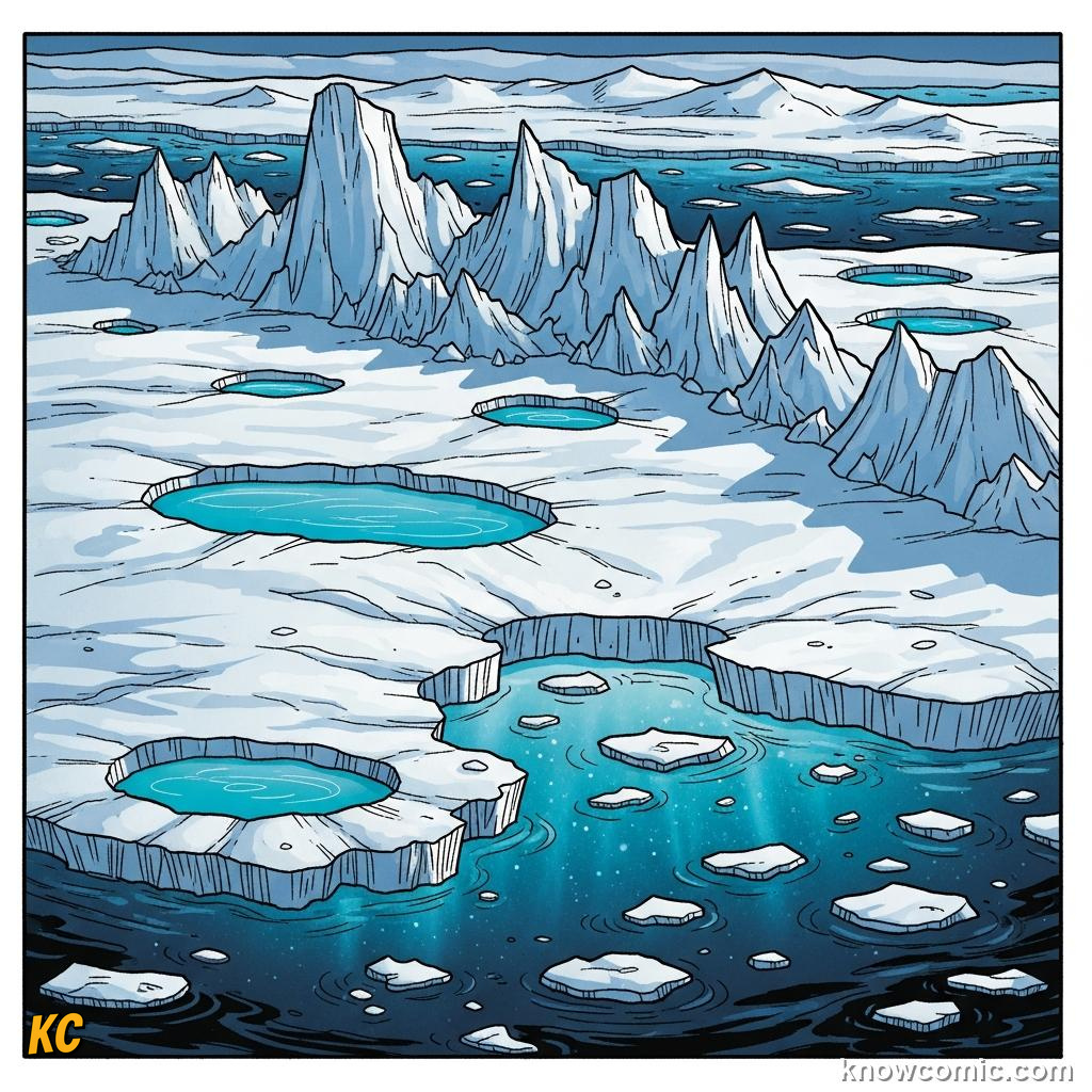
🧊 Shelves float but are sea-water
❄️ Melt changes level oddly
❄️ Melt changes level oddly
CARE
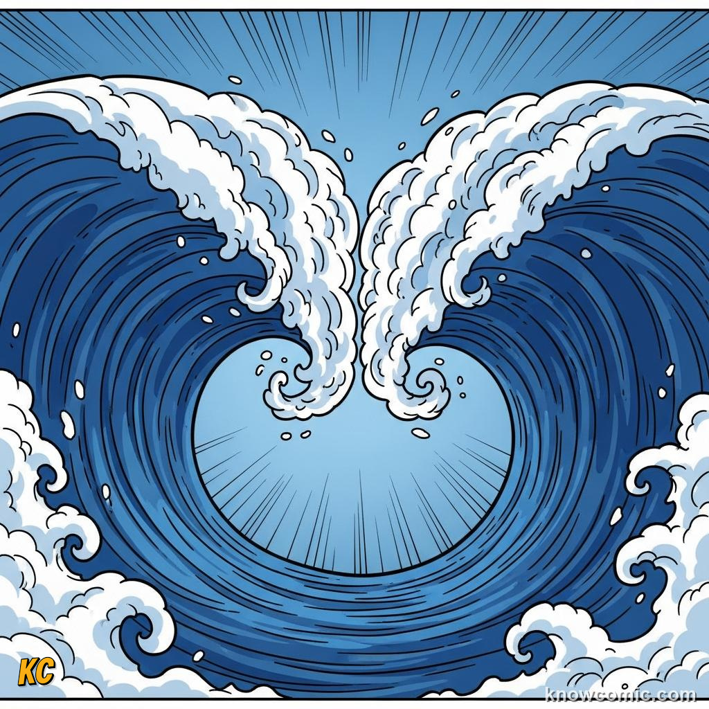
🛡️ Treat coasts as edges of one pool
📊 Maps hide true connectivity
📊 Maps hide true connectivity
PAGE 5 OF 5, WHY THE STATS MATTER
CLIMATE
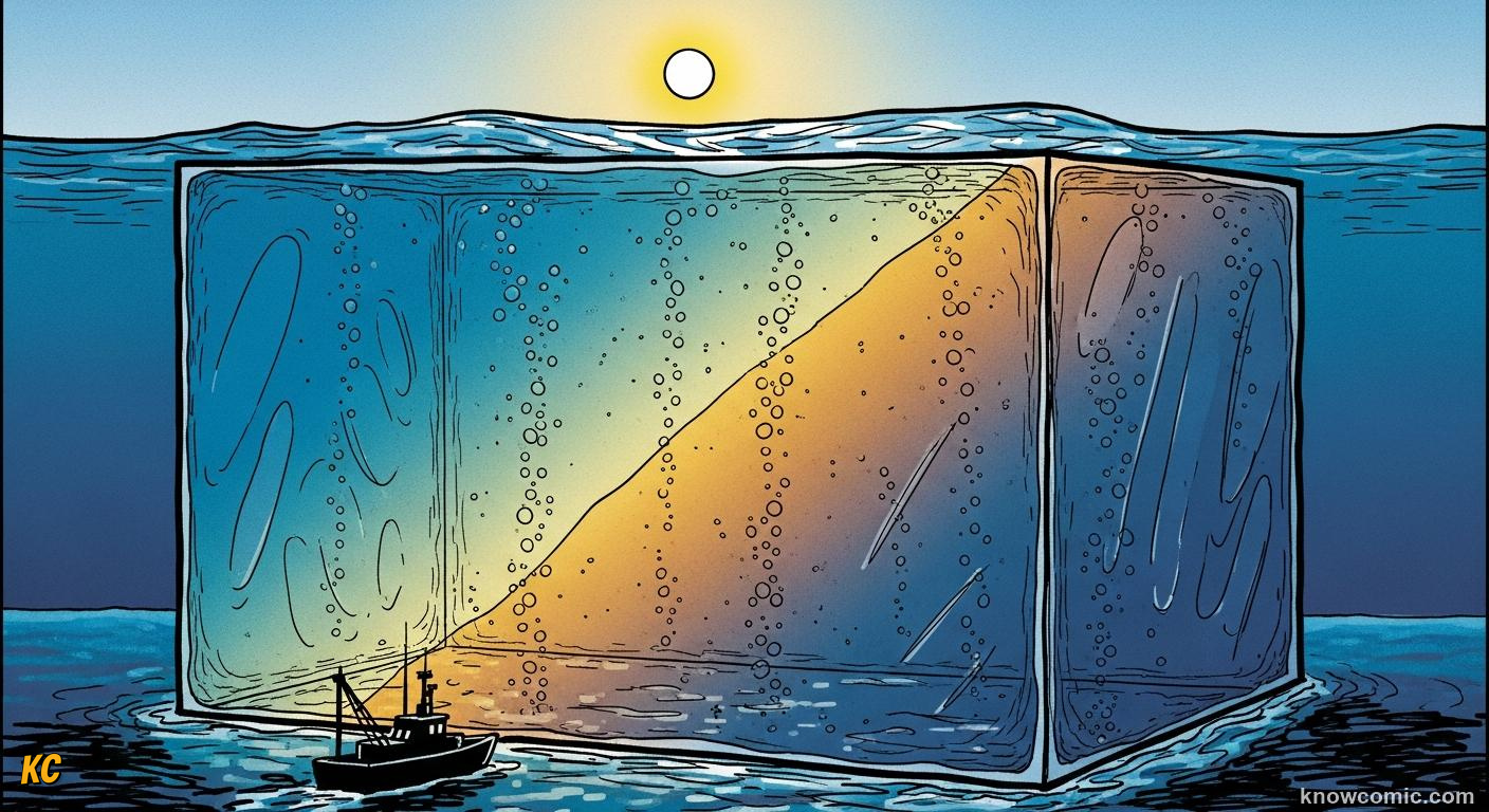
BUFFER FOR HEAT AND CARBON
Because the ocean is huge and deep it swallows most extra planetary heat from the greenhouse effect and soaks part of our CO₂, buying time while changing acidity. Knowing the 71 / 97 / depth facts frames debates: small relative changes in seawater chemistry or circulation still move enormous masses. Curiosity about scale turns into motivation to measure, model and protect what looks infinite from the beach but is finite in physics.
WOW!
HEAT
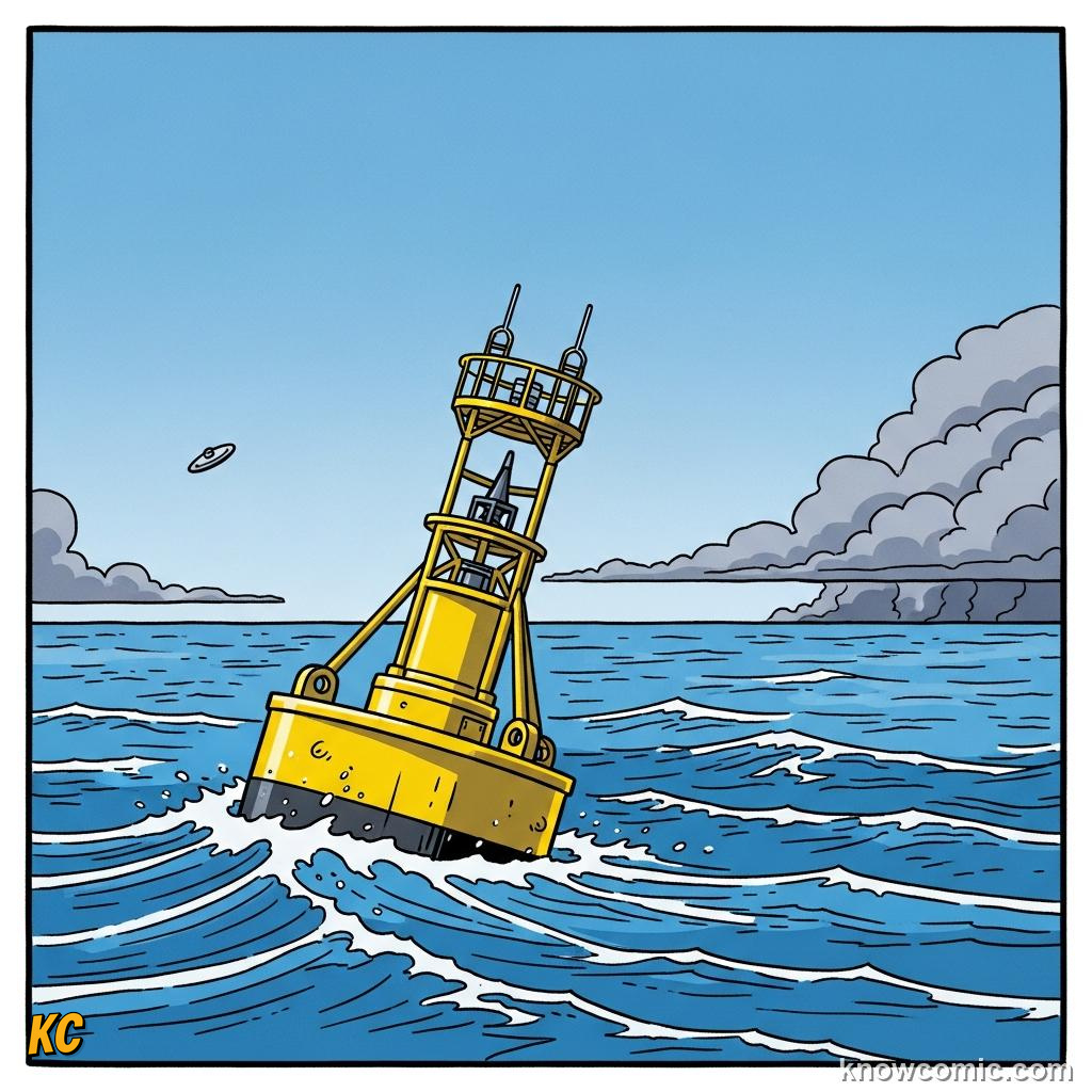
🌡️ Top layer stores solar gain
🌀 Drives storms & monsoons
🌀 Drives storms & monsoons
REMEMBER
🌊 KEY FACTS
~71% surface ocean · ~97% of Earth's water salty · Mean depth multi-km · Ice holds most freshwater · One connected ocean · Big volume = climate buffer.
✅ Area vs volume both huge
✅ Freshwater precious slice
✅ Scale guides wise choices
✅ Freshwater precious slice
✅ Scale guides wise choices
🧠 QUIZ TIME!
HOW MUCH OF EARTH IS OCEAN? · 5 QUESTIONS
QUESTION 01
About what percentage of Earth's surface is covered by oceans and seas?
QUESTION 02
About what percentage of all the water on Earth is found as salt water in the oceans?
QUESTION 03
The global mean depth of the ocean is closest to…
QUESTION 04
Most of Earth's freshwater is stored as…
QUESTION 05
If all continents were eroded flat and spread evenly over the ocean floor, average water depth would still be roughly…
0/5
LOADING...