🌀 OCEAN CURRENTS
PAGE 1 OF 5, GIANT RIVERS IN THE SEA
FLOW
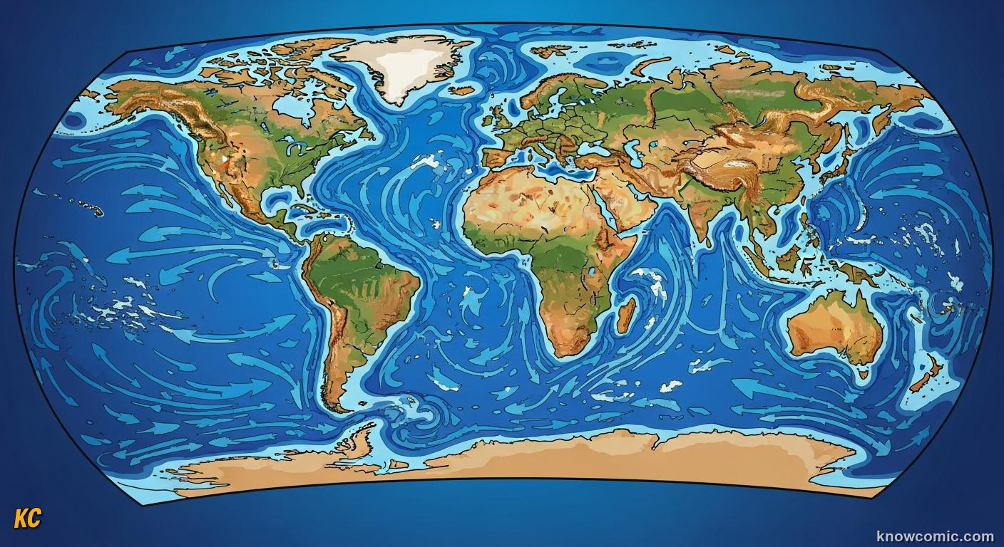
THE OCEAN IS NEVER STILL
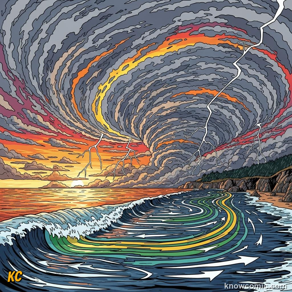
Surface currents are wind-driven rivers thousands of kilometres long, the Gulf Stream carries warm tropical water past eastern North America toward the North Atlantic at walking speed yet moves more water than all Earth's rivers combined. Gyres spin clockwise north of the equator and anticlockwise south thanks to winds plus Earth's rotation steering currents sideways through the Coriolis effect.
⚡ DID YOU KNOW?
Drifting bottles have crossed entire ocean basins in a few years, following the same invisible highways ships use.
MOVE!
WIND
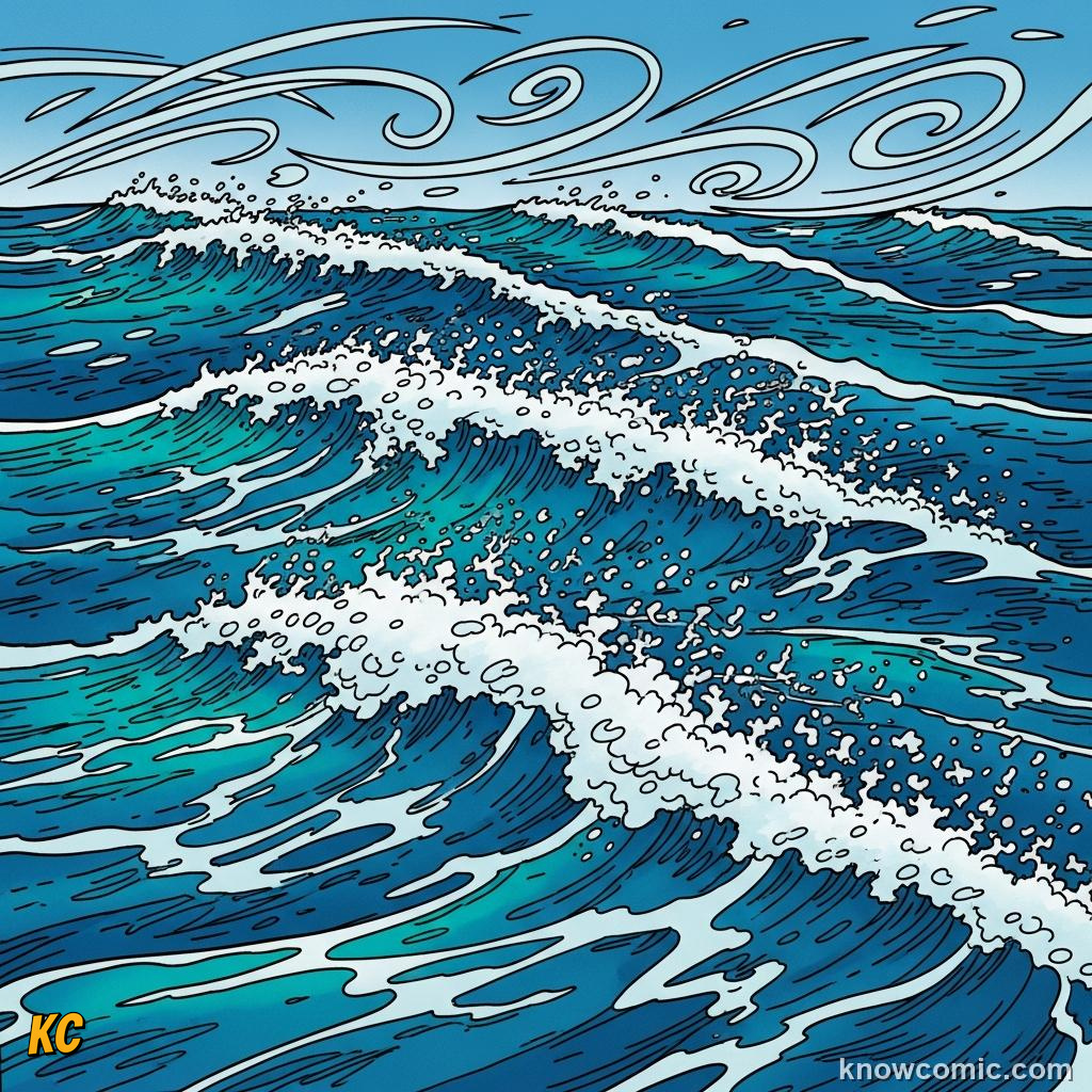
💨 Stress drags surface layer
🌀 Trade winds set tropics
🌀 Trade winds set tropics
GYRE
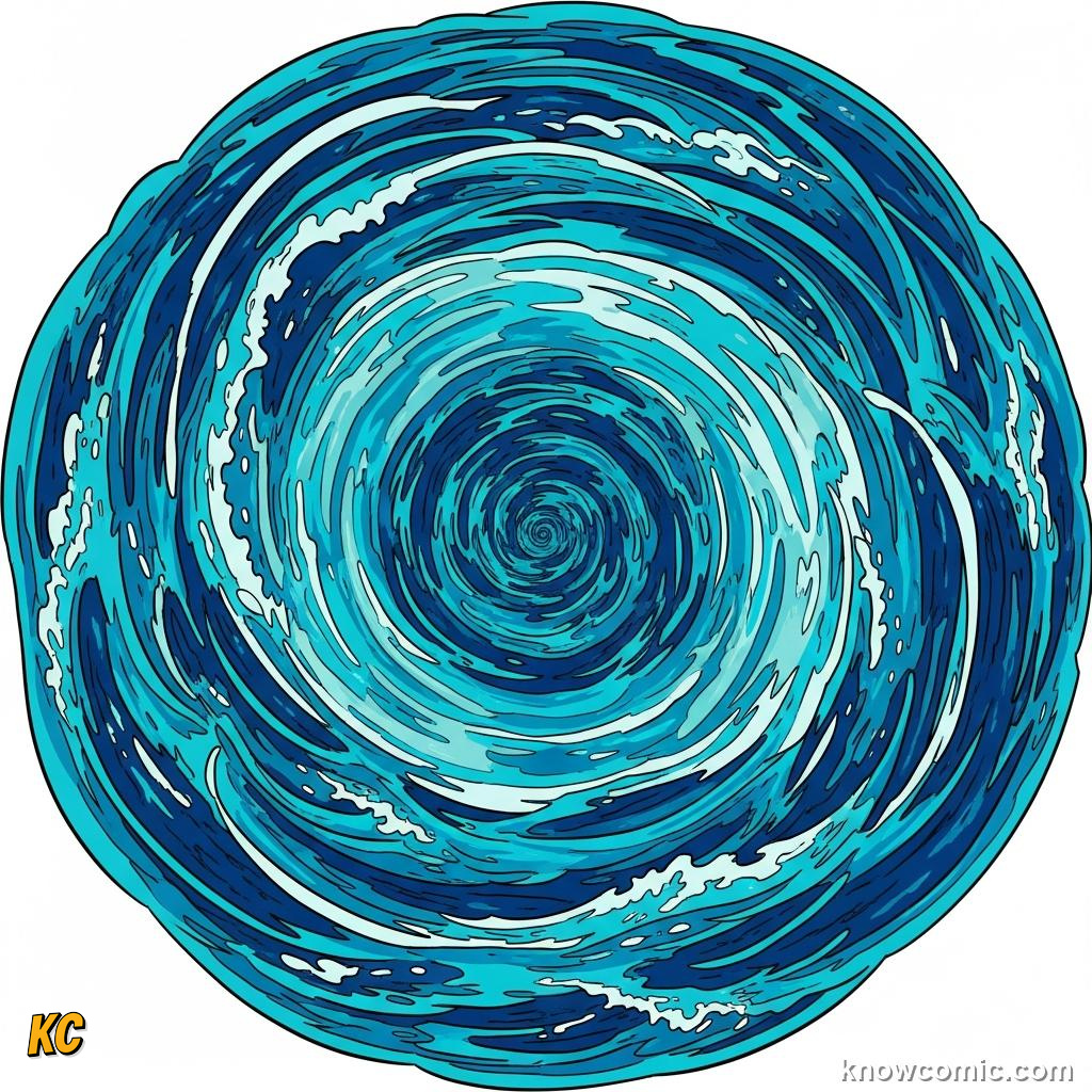
🔄 Five major loops worldwide
🗑️ Plastic can spiral inward
🗑️ Plastic can spiral inward
PAGE 2 OF 5, THE GULF STREAM AND EUROPE'S COAT
WARM
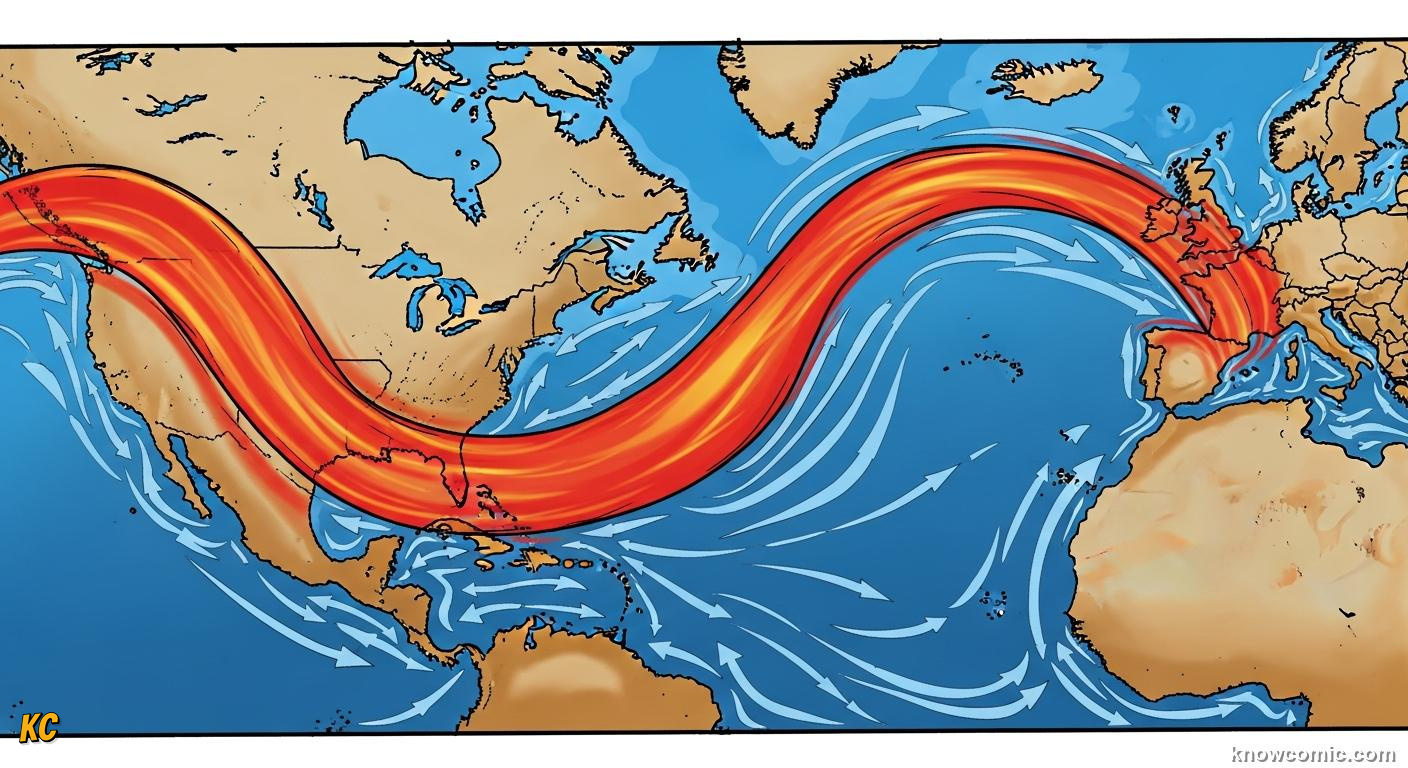
A MOIST HEAT PIPE ACROSS THE ATLANTIC
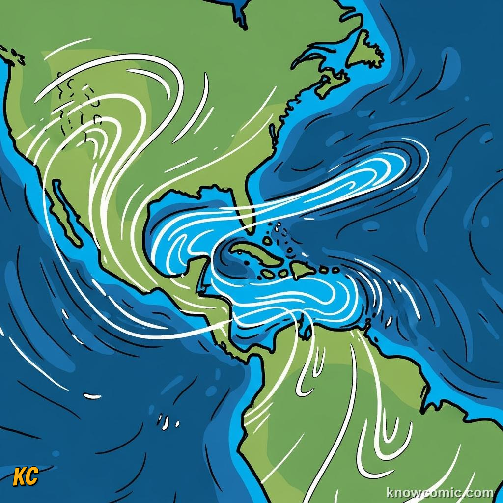
The Gulf Stream–North Atlantic Drift extension releases huge heat to the winter atmosphere, helping keep northwestern Europe several degrees milder than matching latitudes in Canada. Shutting or weakening that overturning branch would not turn Britain into the tropics overnight, but climate models worry about shifting rainfall, fisheries and storm tracks if freshwater from melting ice dilutes sinking water near Greenland.
WARM!
MAP
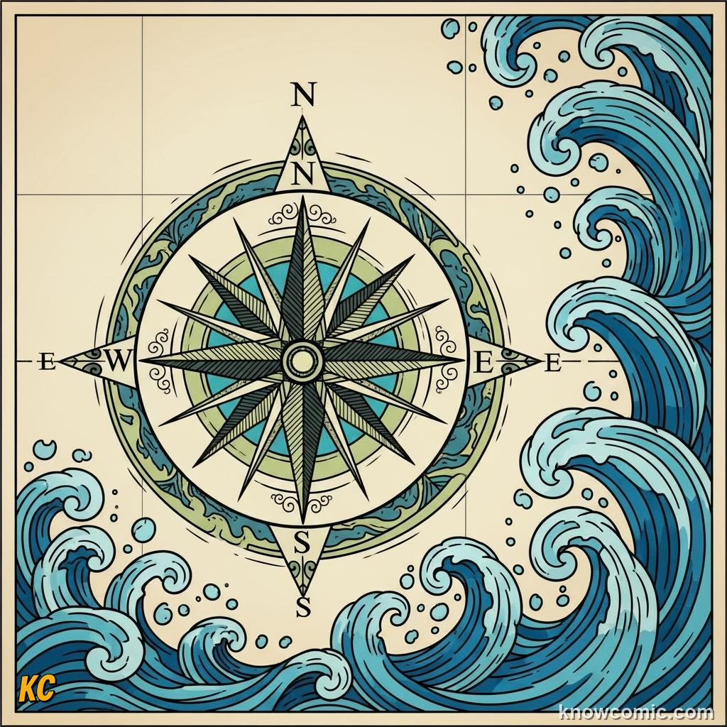
📍 Caribbean → NE Atlantic path
📡 Altimetry traces meanders
📡 Altimetry traces meanders
STORM
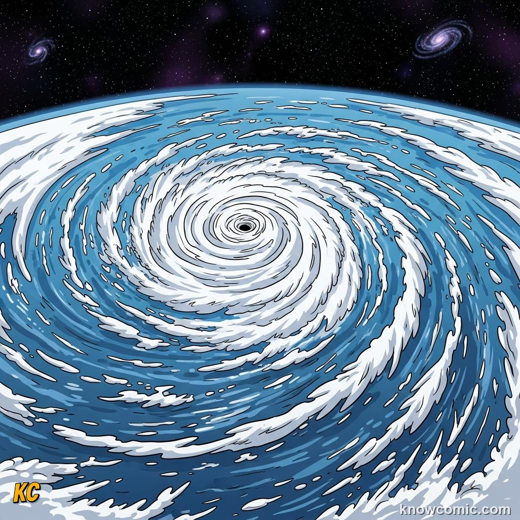
🌀 Hurricanes drink warm top layer
⚡ Energy export reshapes weather
⚡ Energy export reshapes weather
RISK
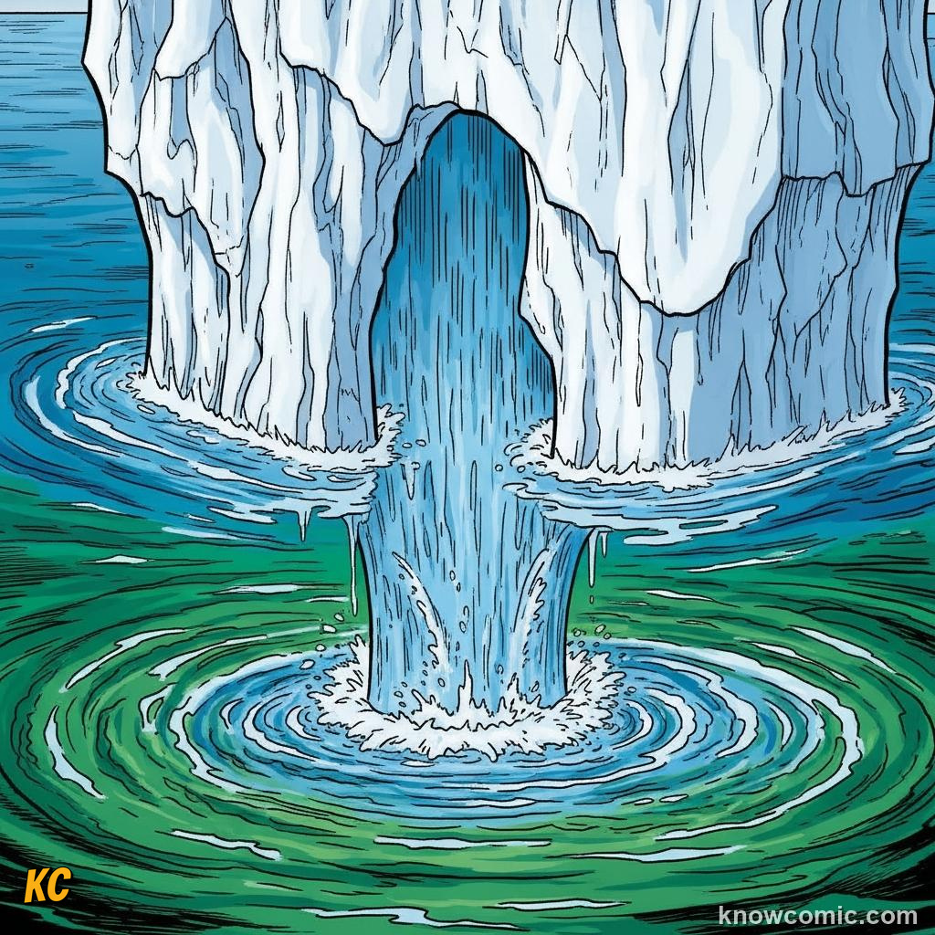
🧊 Meltwater freshens surface
📉 Slower sinking = slowdown risk
📉 Slower sinking = slowdown risk
PAGE 3 OF 5, THERMOHALINE: COLD AND SALTY SINKS
DENSE
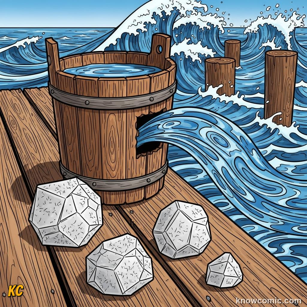
🧂 Saltier water masses weigh more
❄️ Cold polar seas ready to dive
❄️ Cold polar seas ready to dive
NADW
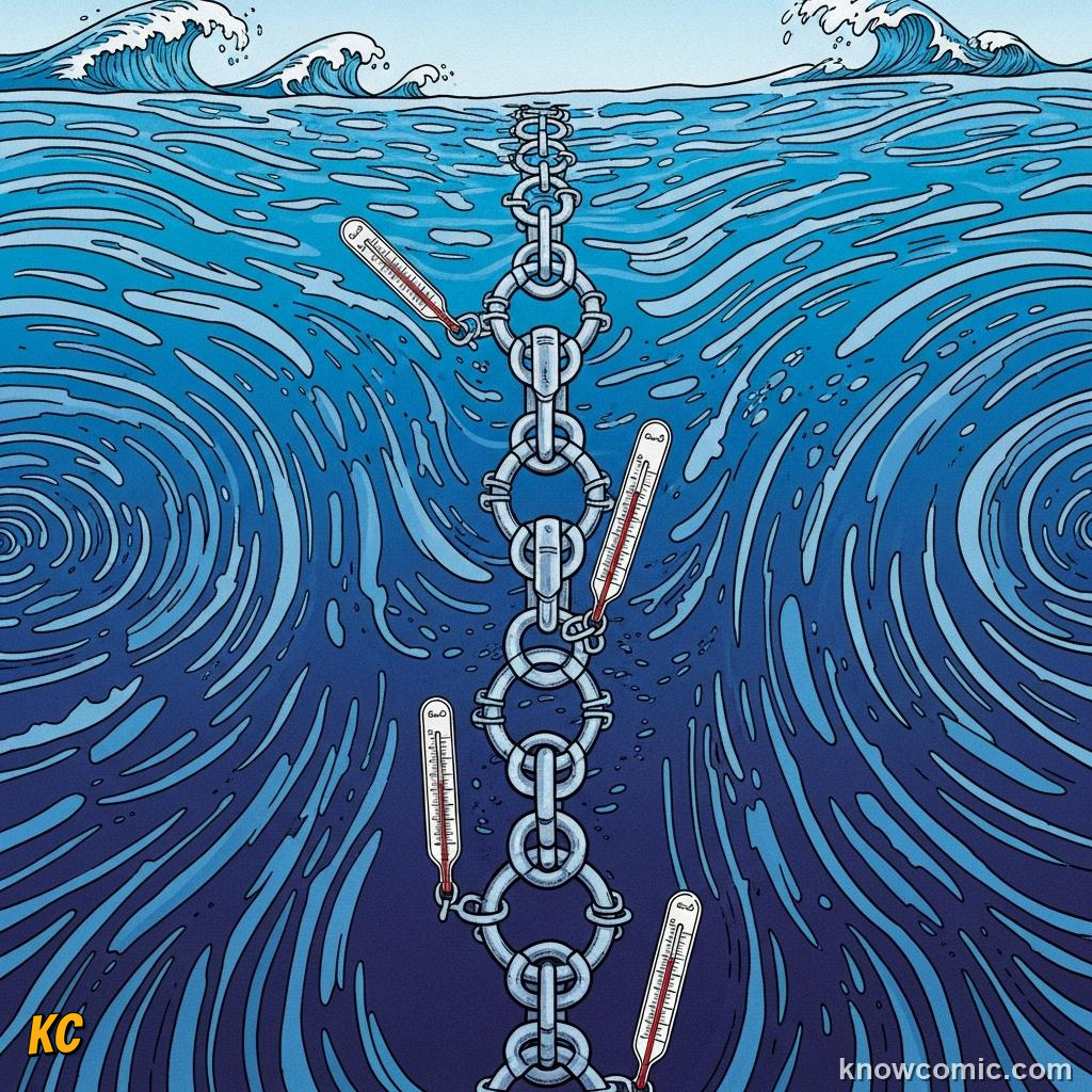
⬇️ North Atlantic Deep Water forms
🌍 Part of global overturning
🌍 Part of global overturning
CONVEYOR
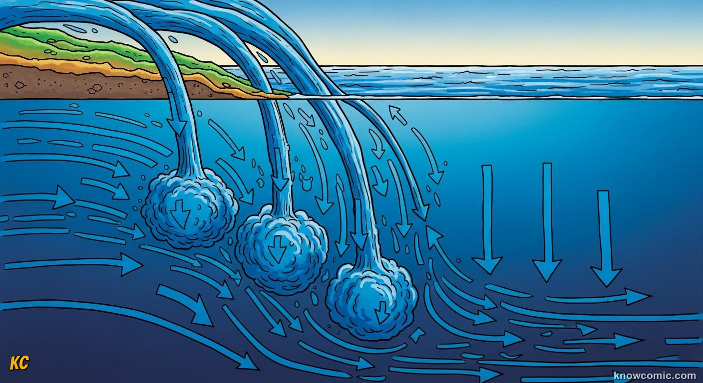
A PLANETARY-SCALE SLOW LOOP
Thermohaline circulation links surface and abyss, cold dense water slips along bottom pathways, upwells elsewhere centuries later, and eventually returns sunward. Nutrients lifted by upwelling fuel Peruvian anchovy fisheries; Antarctic Bottom Water spreads the chill fingerprint of the south. One full deep loop can take on the order of a millennium, geology-fast, human-slow.
SINK!
PAGE 4 OF 5, UPWELLING AND EL NIÑO
RISE
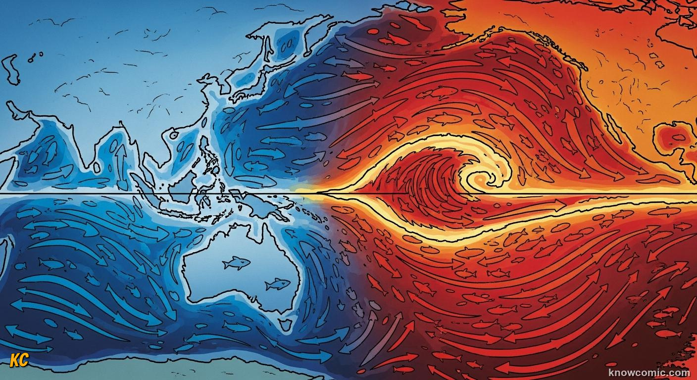
WINDS OFFSHORE PULL DEEP WATER UP
Where Ekman transport diverges, along equatorial strips, eastern ocean edges, or when winds blow parallel to coasts with coast on the left in the northern hemisphere, nutrient-rich deep water rises to sunlit layers, sparking plankton blooms and fish bonanzas. El Niño flips the tropical Pacific when trade winds slacken: warm water sloshes east, thermocline deepens, fisheries crash off Peru, and teleconnections shift droughts and floods continents away.
FLIP!
FOOD
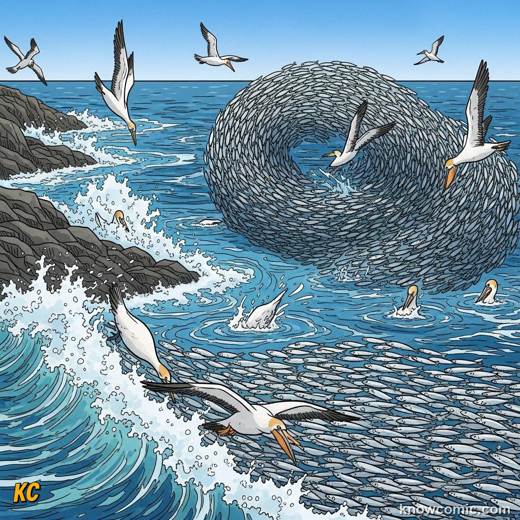
🐟 Anchovy factories of Peru
📈 Wind = productivity dial
📈 Wind = productivity dial
NIÑO
🌡️ Warm tongue toward Americas
🌧️ Rain patterns hop continents
🌧️ Rain patterns hop continents
LA NIÑA
❄️ Extra-cold eastern Pacific phase
🌀 More Atlantic hurricanes sometimes
🌀 More Atlantic hurricanes sometimes
PAGE 5 OF 5, WHY CURRENTS MATTER NOW
CLIMATE
HEAT AND CARBON HIGHWAYS
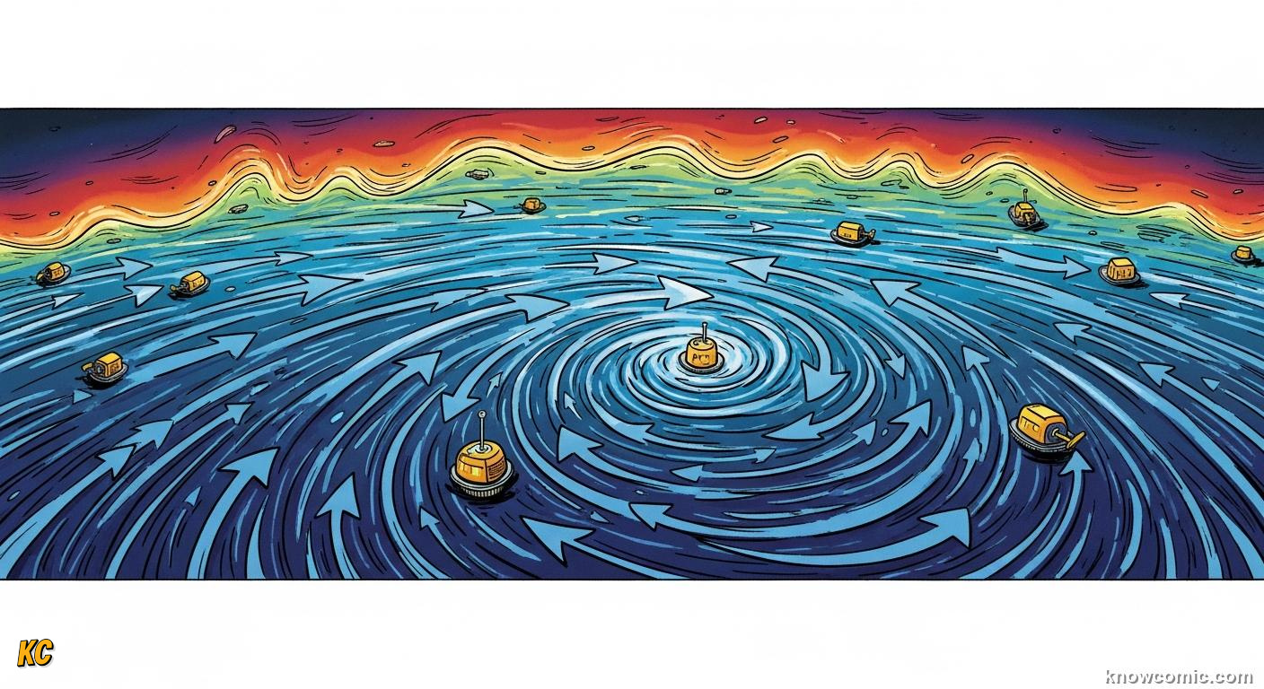
Currents stash most of the extra heat from global warming in the upper kilometre of ocean, hide part of our CO₂ in intermediate waters, and set the stage for marine heatwaves that bleach reefs. Understanding gyres, overturning and equatorial waves improves seasonal forecasts, from monsoon timing to hurricane tracks, while guiding debates about marine protected areas and blue carbon. The invisible rivers are public infrastructure we all depend on.
CARE!
DATA
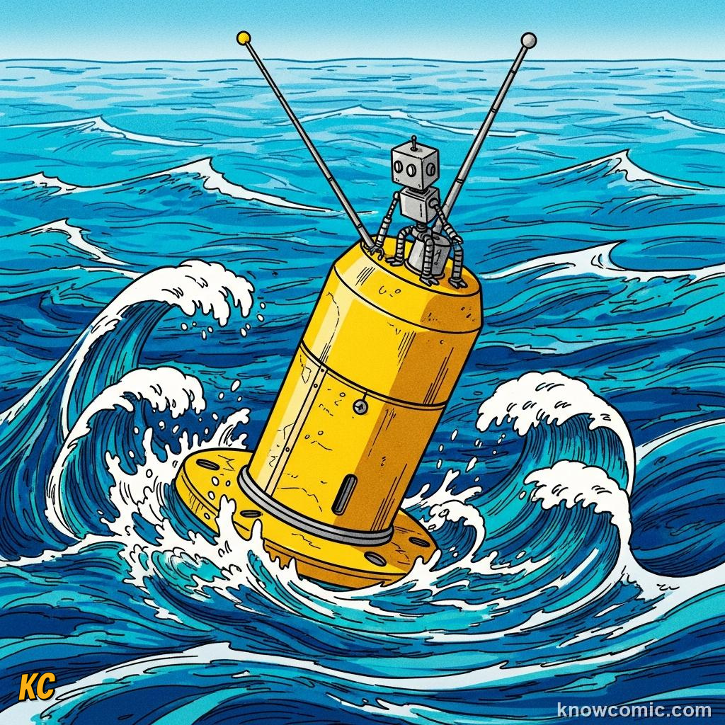
🛰️ Argo floats profile temperature
📊 Models test slowdown scenarios
📊 Models test slowdown scenarios
REMEMBER
🌀 KEY FACTS
Wind drives surface gyres · Gulf Stream warms Europe's climate · Thermohaline = temperature + salinity sinking · Upwelling lifts nutrients · El Niño redistributes Pacific heat · Deep loops can take ~1000 years.
✅ Currents move heat & food
✅ Pacific flip affects the world
✅ Science guides adaptation
✅ Pacific flip affects the world
✅ Science guides adaptation
🧠 QUIZ TIME!
OCEAN CURRENTS · 5 QUESTIONS
QUESTION 01
The Gulf Stream and its northeast extension mainly help keep which region warmer in winter than similar latitudes would suggest?
QUESTION 02
The deep limb of the global overturning circulation is most strongly driven by differences in…
QUESTION 03
Coastal upwelling zones like those off Peru are very productive mainly because upwelling brings…
QUESTION 04
El Niño in the tropical Pacific often begins when…
QUESTION 05
Roughly how long does one complete loop of the deep thermohaline overturning circulation take?
0/5
LOADING...