🌊 TIDES: THE MOON'S PULL
PAGE 1 OF 5, THE MOON TUGS THE OCEAN
BULGE
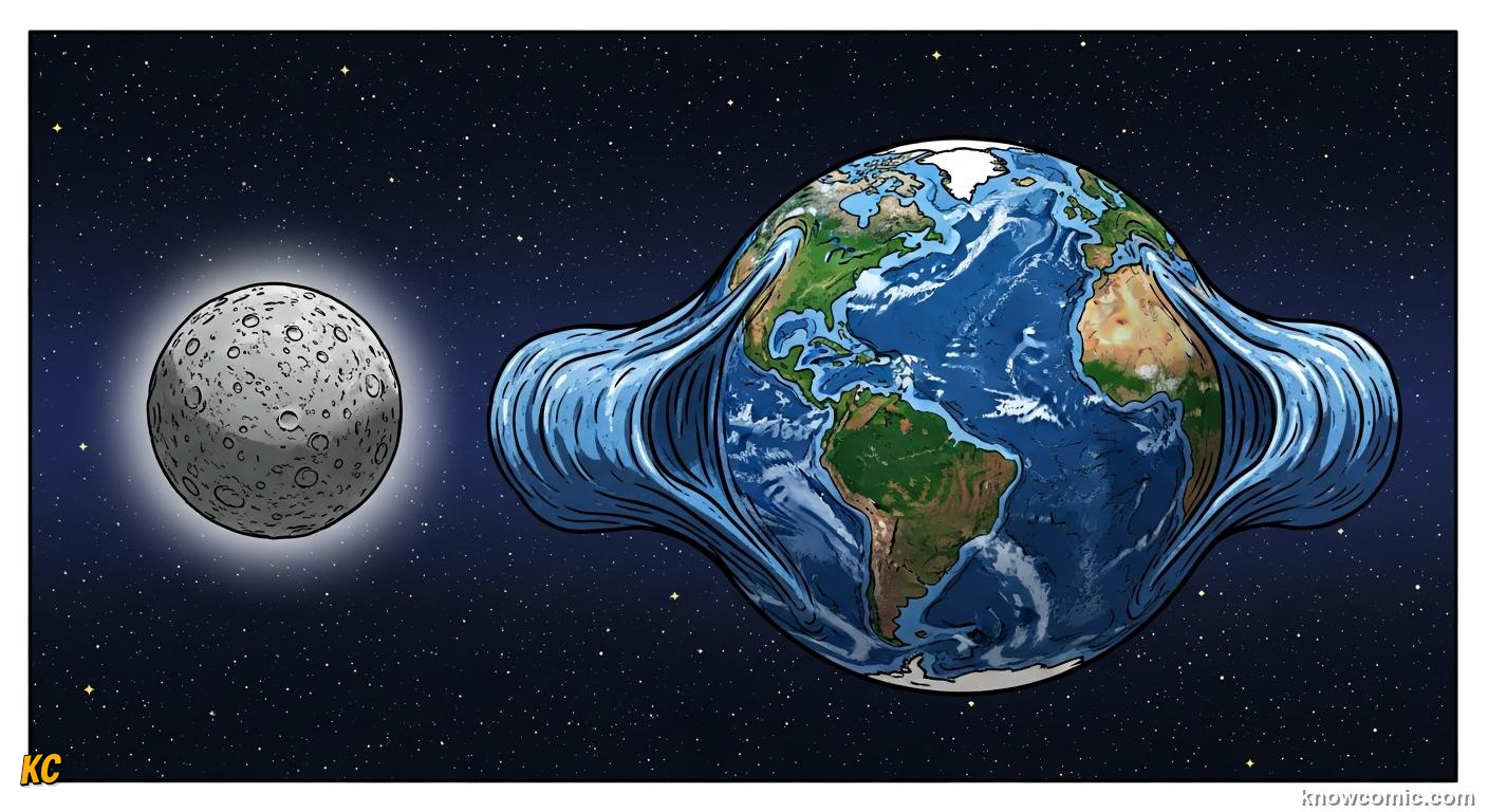
GRAVITY STRETCHES THE WATER BLANKET
The Moon's mass pulls Earth toward it, including rock and ocean. Because water flows, the sea piles into tidal bulges: one roughly under the Moon and another on the opposite side from inertia as Earth and Moon swing around their common centre of mass. Our planet spins inside that pattern, so most coastlines see the water level rise and fall roughly twice per lunar day, the heartbeat of tides.
⚡ DID YOU KNOW?
The Sun also raises tides, about half the strength of lunar tides, so spring and neap cycles follow the lunar month plus Sun geometry.
TUG!
SPIN
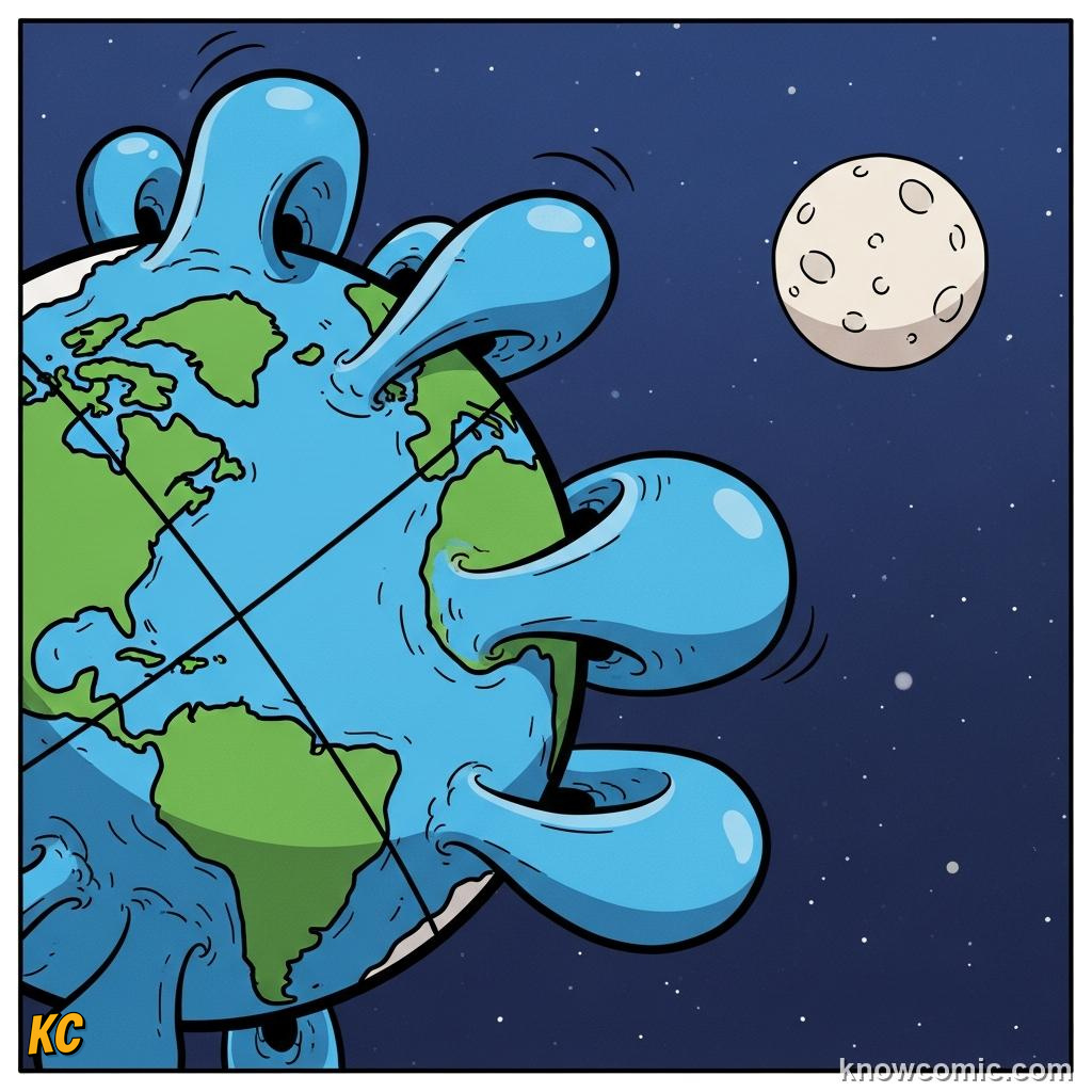
🌍 Earth rotates inside bulges
🕐 ~12 h 25 min between highs (often)
🕐 ~12 h 25 min between highs (often)
SUN
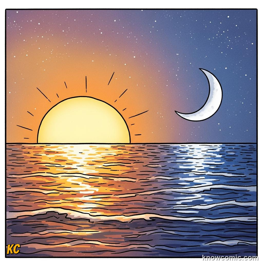
☀️ Adds a solar tide signal
🌑 Alignments boost or cancel a bit
🌑 Alignments boost or cancel a bit
PAGE 2 OF 5, SPRING AND NEAP TIDES
ALIGN
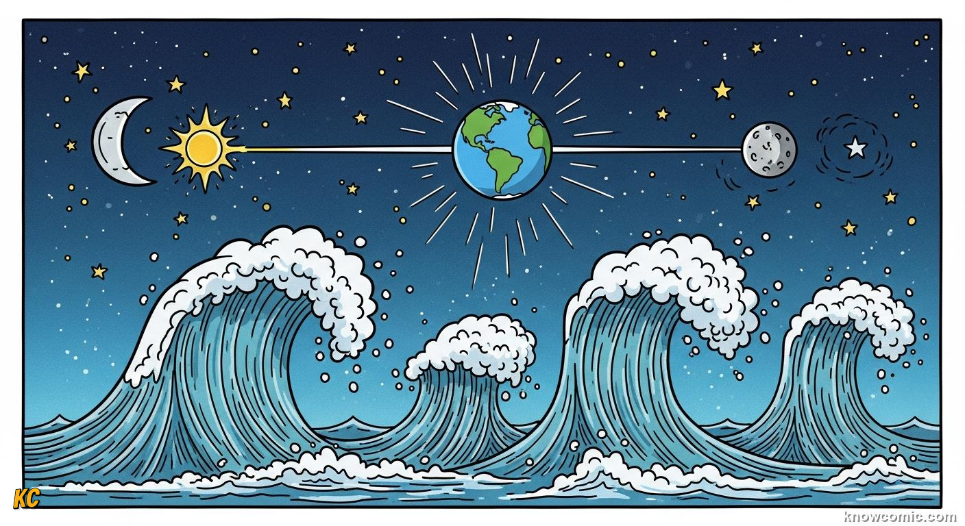
WHEN SUN AND MOON TEAM UP, OR FIGHT
At new Moon and full Moon, Earth, Moon and Sun line up roughly straight, lunar and solar tidal pulls add together, stretching the oceans a bit more: spring tides with bigger high waters and lower lows. At first and third quarter, the pulls aim at right angles, neap tides with gentler range. Charts of coastal flooding use these rhythms to plan harbour gates and storm-surge windows.
LINE!
SPRING
🌑 New · 🌕 Full geometry
📈 Bigger tidal range
📈 Bigger tidal range
NEAP
🌗 Quarter Moons
📉 Smaller tidal range
📉 Smaller tidal range
MAP
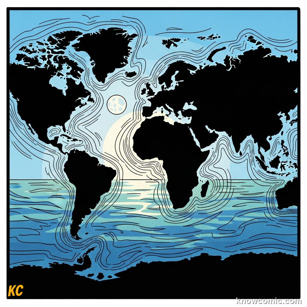
🗺️ Coasts amplify differently
🌀 Basins ring like bells
🌀 Basins ring like bells
PAGE 3 OF 5, ONE HIGH OR TWO?
TYPE
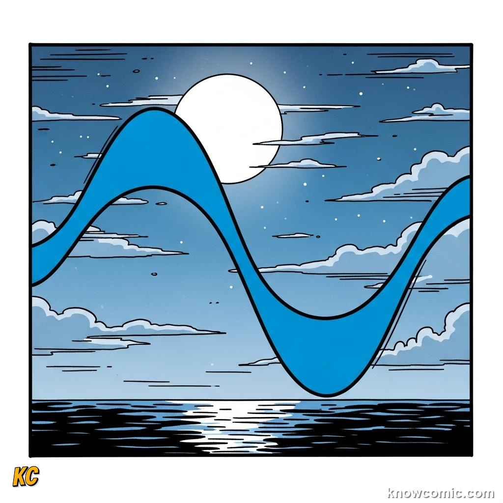
🌊 Semidiurnal: two highs / two lows
🌅 Diurnal: one main cycle some places
🌅 Diurnal: one main cycle some places
SHAPE
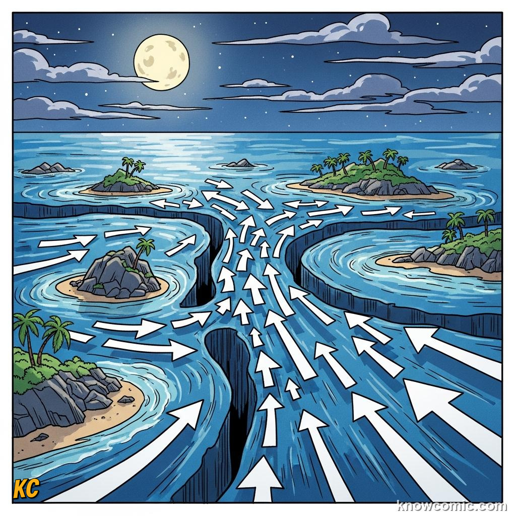
🏝️ Islands funnel currents
🧮 Geometry changes timing
🧮 Geometry changes timing
CLOCK
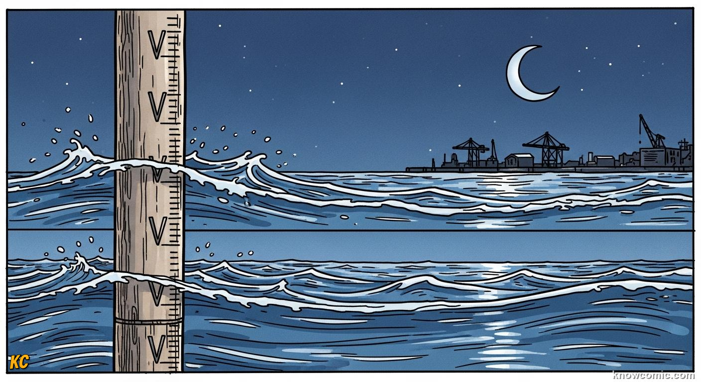
TIDAL CURVES ARE NOT PERFECT SINE WAVES
Real tide gauges wiggle with weather, river floods and resonant sloshing in gulfs. Predictions blend astronomy with local calibration, still good enough for shipping schedules and surfers hunting the push. Knowing your local pattern beats memorising a global average.
TWICE!
PAGE 4 OF 5, WHEN THE SEA CLIMBS THE HIGHEST
RANGE
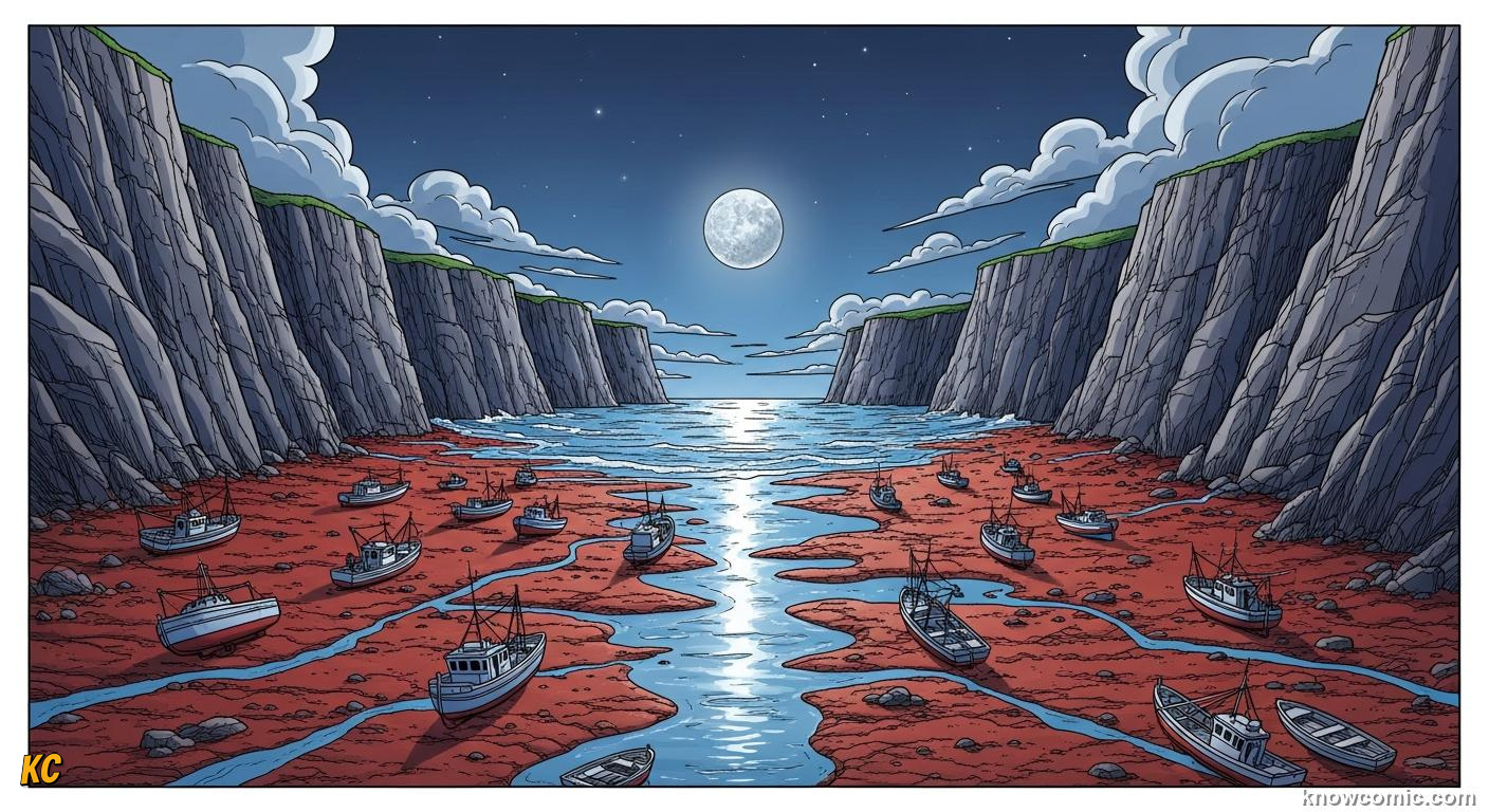
BAYS AND SHELVES CAN MAGNIFY THE SWING
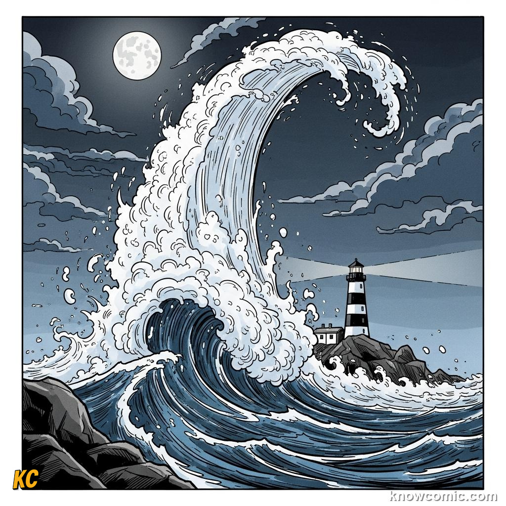
The Bay of Fundy between Nova Scotia and New Brunswick is famous for extreme tides, in places the vertical range can approach the height of a house, twice daily, as the basin's natural period resonates with the tidal forcing. Narrow inlets, shallow shelves and storm surges can stack on top of the astronomical tide, why harbour walls and flood alerts watch both Moon phase and weather maps.
HIGH!
SURGE
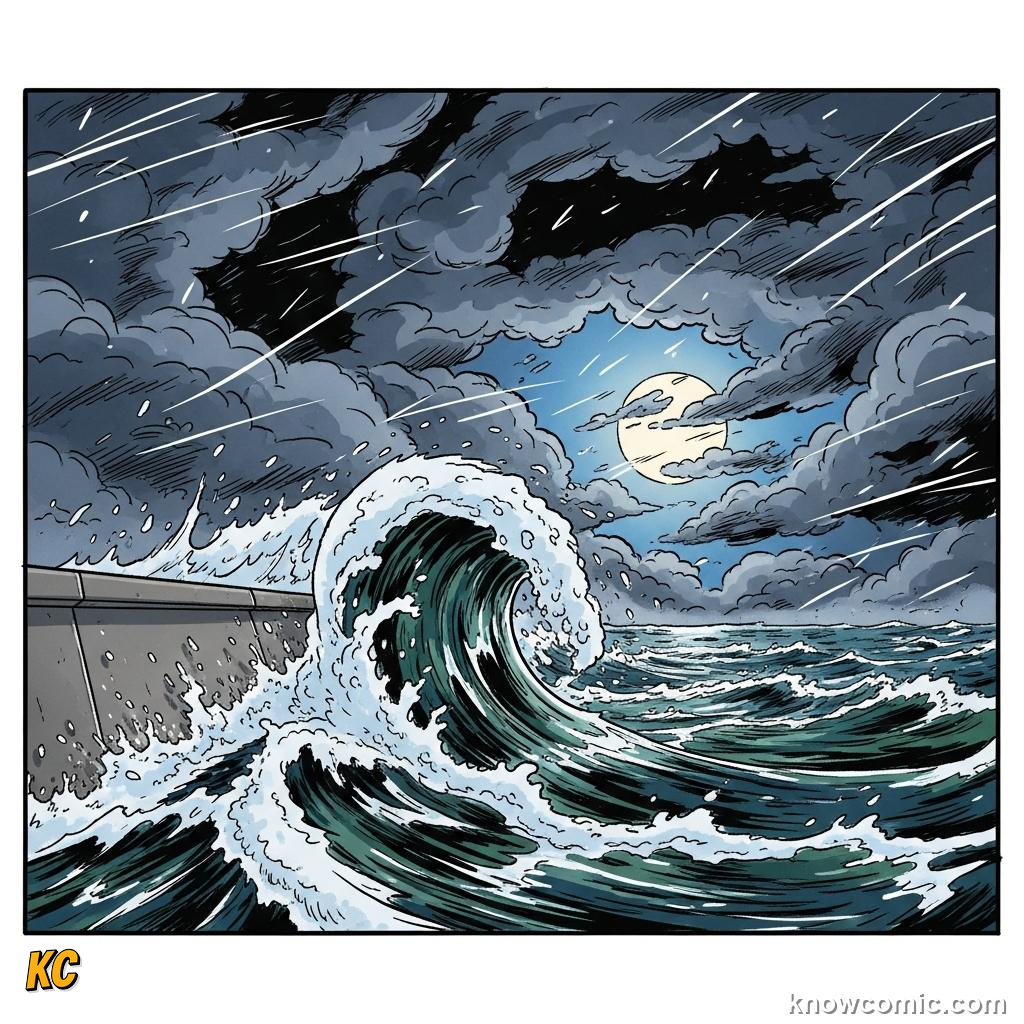
🌀 Low pressure lifts sea surface
💨 Wind stacks water at coasts
💨 Wind stacks water at coasts
PLAN
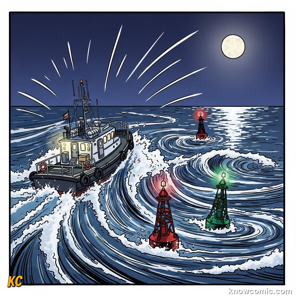
📅 Tide tables + Moon phase
🛟 Pilots time bar crossings
🛟 Pilots time bar crossings
LIFE
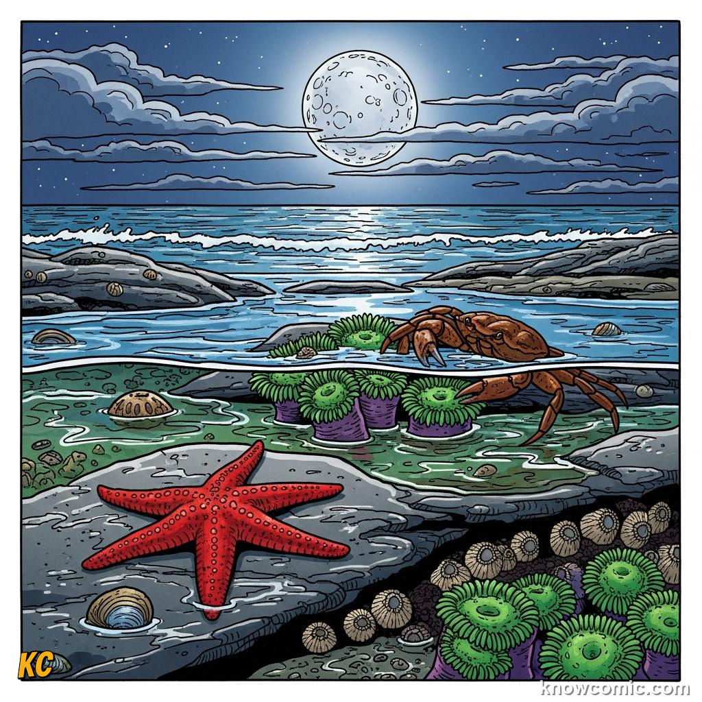
🦀 Intertidal species chase waterline
🪨 Rock pools refill twice daily
🪨 Rock pools refill twice daily
PAGE 5 OF 5, TIDES AND TOMORROW
POWER
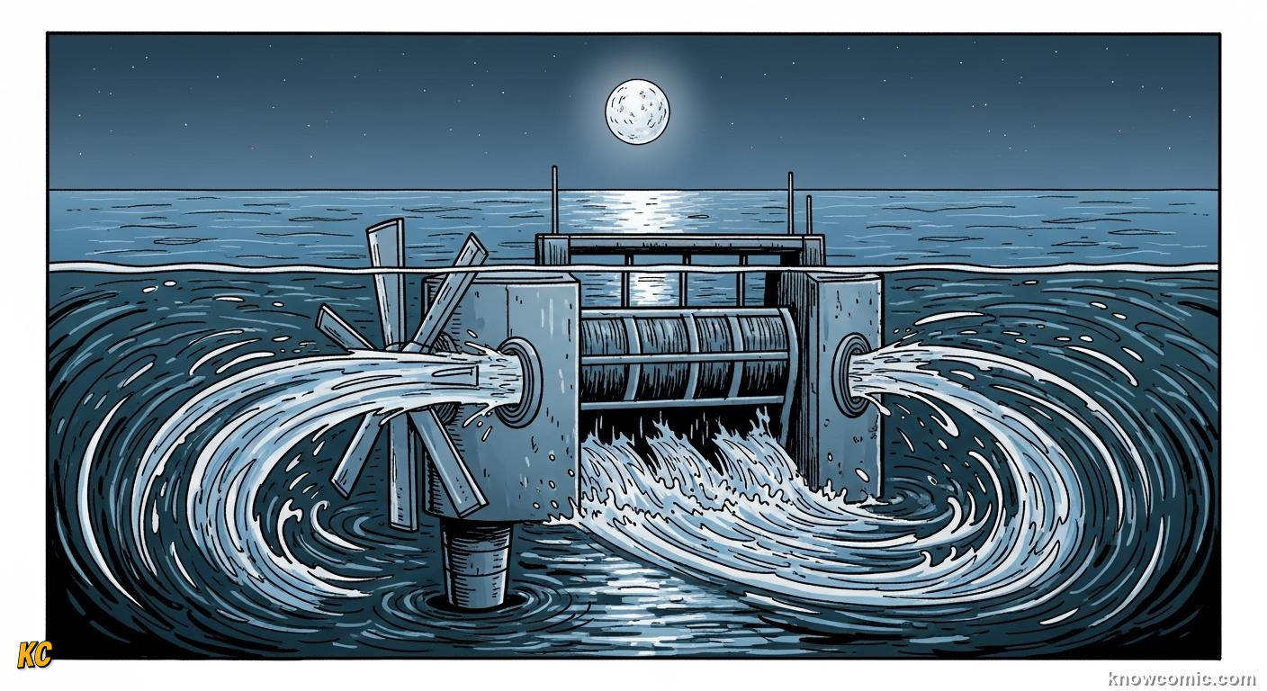
MOVING WATER CARRIES ENERGY
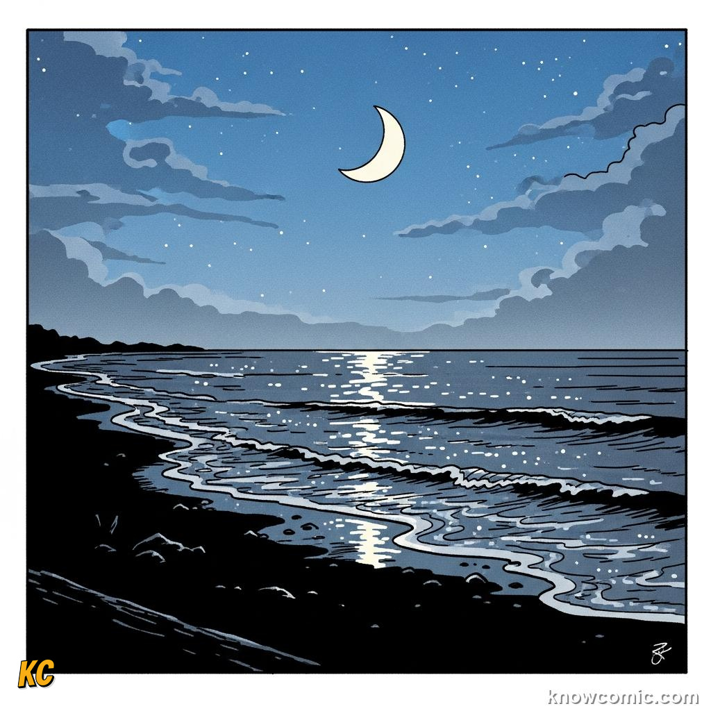
Barrages and turbines try to harvest tidal streams where geography squeezes flow, promising predictable renewable electricity, but expensive to build and sensitive to ecosystems that evolved with the old rhythm. Whether we tap tides or simply respect their schedule for navigation and safety, the Moon keeps setting the metronome, a celestial clock you can see in any wet sand flat after dark.
FLOW!
SKY
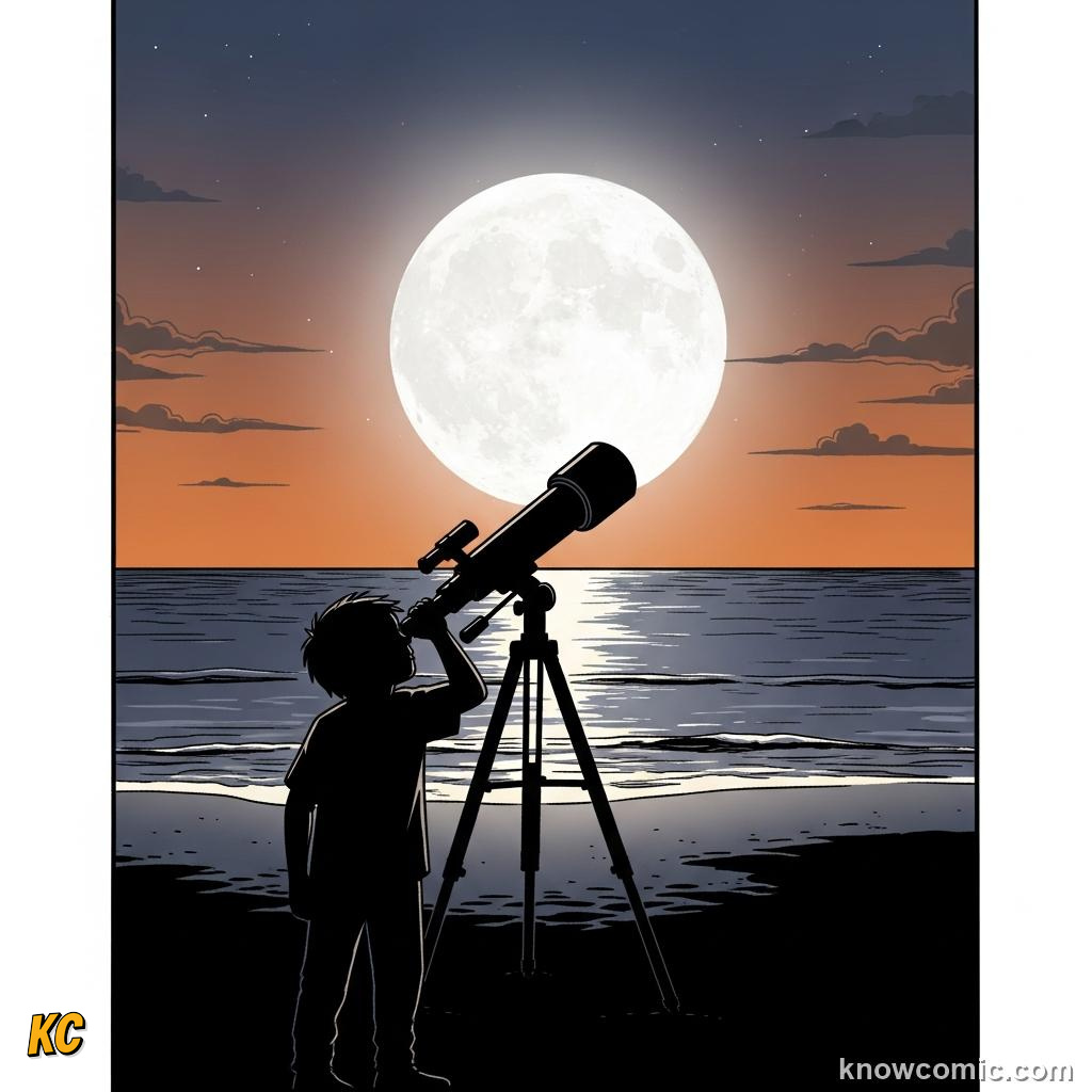
🌙 Same Moon, all coasts
🔭 Binoculars reveal seas of lava
🔭 Binoculars reveal seas of lava
REMEMBER
🌊 KEY FACTS
Moon (and Sun) gravity raises bulges · Earth spin gives ~2 highs/day in many places · Spring = bigger range at new/full · Neap = smaller at quarters · Bays can amplify · Fundy-class extremes exist · Tides + weather shape flood risk.
✅ Bulges + spin = rhythm
✅ Sun tweaks the size
✅ Local coast writes the finale
✅ Sun tweaks the size
✅ Local coast writes the finale
🧠 QUIZ TIME!
TIDES · 5 QUESTIONS
QUESTION 01
The main astronomical body whose gravity chiefly drives the familiar ocean tides on Earth is…
QUESTION 02
In a typical semidiurnal coastal pattern, about how many high tides occur each day?
QUESTION 03
Spring tides, with larger tidal range, occur when the Sun, Earth and Moon are arranged roughly how?
QUESTION 04
Neap tides, with smaller tidal range, occur when the Moon is at about which phases relative to the Sun (as seen from Earth)?
QUESTION 05
The Bay of Fundy in eastern Canada is especially famous for…
0/5
LOADING...